Zutendaal night lights from space
Night Light of Zutendaal (Flanders) from space (Belgium) Src. Average luminocity for 10x10km area is 33.7885% and for 50x50km: 29.4085%.
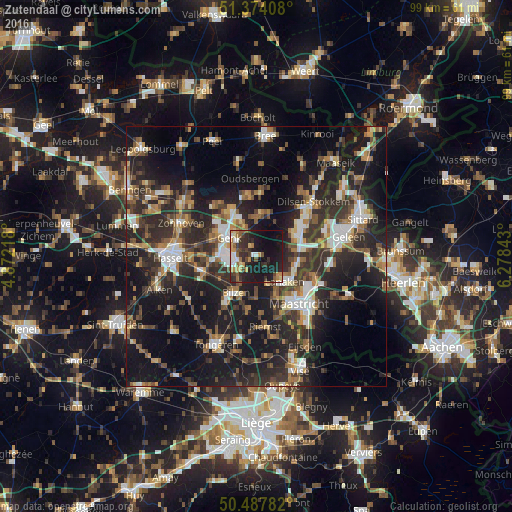
Analysis of Zutendaal night lights 2016
Square area 10x10 km:
 2.38%
2.38%90-99
4.76%80-89
3.5%70-79
6.16%60-69
3.92%50-59
4.9%40-49
4.62%30-39
7.56%20-29
14.01%10-19
39.22%0-9
8.96%Square area 50x50 km:
3.58%90-99
4.3%80-89
2.19%70-79
3.08%60-69
4.43%50-59
4.46%40-49
5.2%30-39
5.98%20-29
13.43%10-19
24.79%0-9
28.56%Clear (daylight) street map image can be seen on geolist.org.
Map coordinates:
51° 22' 26.7" North, 4° 52' 19.8" East
50° 55' 59" North, 5° 34' 31.1" East
50° 29' 16.2" North, 6° 16' 42.3" East
Some cities around Zutendaal sort by population:
• Genk
6.3 km =3.9 mi,  304°
304°
• Maasmechelen
9.1 km =5.7 mi,  66°
66°
• Bilzen
7.8 km =4.8 mi,  210°
210°
• Lanaken
6.7 km =4.2 mi,  131°
131°
• Diepenbeek
11.3 km =7 mi,  255°
255°
• Hoeselt
11.4 km =7.1 mi, 212°
• As
8.3 km =5.2 mi,  4°
4°
• Malberg, NL
9.6 km =6 mi,  144°
144°
2783143 (p: 6,962)
Sources (retrieved 2019-11-25):
» Earth at Night: Flat Maps 2012, 2016