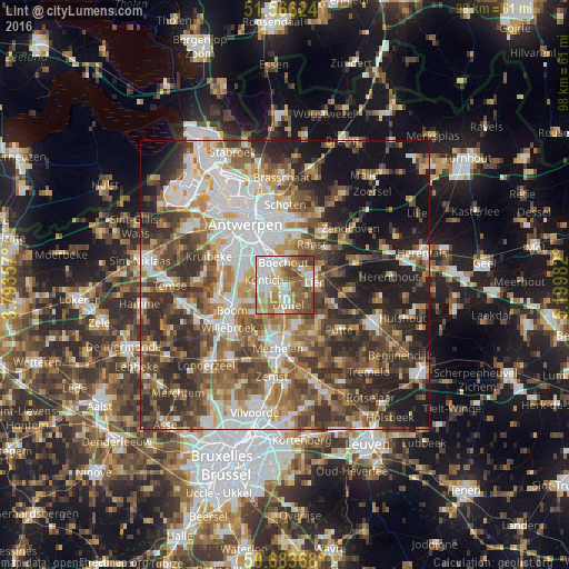
Lint night lights from space
Night Light of Lint (Flanders) from space (Belgium) Src. Average luminocity for 10x10km area is 77.9171% and for 50x50km: 54.1049%.
Analysis of Lint night lights 2016
Square area 10x10 km:
100  19.92%
90-99 20.05%
80-89 11.36%
70-79 12.03%
60-69 10.7%
50-59 16.44%
40-49 8.16%
30-39 1.34%
20-29 0%
10-19 0%
0-9 0%
19.92%90-99
20.05%80-89
11.36%70-79
12.03%60-69
10.7%50-59
16.44%40-49
8.16%30-39
1.34%20-29
0%10-19
0%0-9
0%Square area 50x50 km:
100 11.2%
90-99 10.79%
80-89 5.01%
70-79 6.85%
60-69 8.18%
50-59 9.38%
40-49 10.45%
30-39 9.24%
20-29 11.77%
10-19 12.75%
0-9 4.37%
11.2%90-99
10.79%80-89
5.01%70-79
6.85%60-69
8.18%50-59
9.38%40-49
10.45%30-39
9.24%20-29
11.77%10-19
12.75%0-9
4.37%Clear (daylight) street map image can be seen on geolist.org.
Map coordinates:
51° 33' 58.5" North, 3° 47' 36.9" East
51° 7' 37.5" North, 4° 29' 48.1" East
50° 41' 1.2" North, 5° 11' 59.4" East
Some cities around Lint sort by population:
• Lier
5.2 km =3.2 mi,  84°
84°
• Mortsel
5.5 km =3.4 mi,  324°
324°
• Edegem
4.9 km =3 mi,  312°
312°
• Kontich
3.5 km =2.2 mi,  279°
279°
• Sint-Katelijne-Waver
7.2 km =4.5 mi,  158°
158°
• Duffel
3.6 km =2.2 mi,  166°
166°
• Boechout
3.6 km =2.2 mi,  354°
354°
• Hove
3.5 km =2.2 mi,  329°
329°
2792292 (p: 7,982)
Sources (retrieved 2019-11-25):
» Earth at Night: Flat Maps 2012, 2016