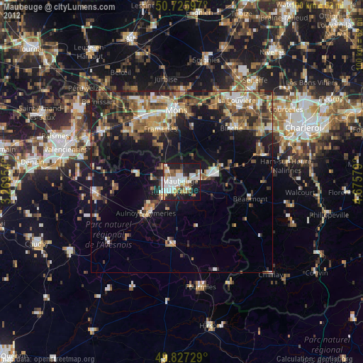
Maubeuge night lights from space
Night Light of Maubeuge (Hauts-de-France) from space (France) Src. Average luminocity for 10x10km area is 56.8235% and for 50x50km: 19.958%.
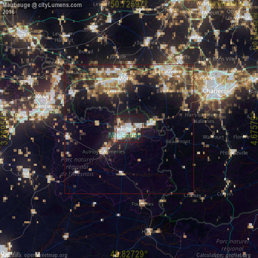
Analysis of Maubeuge night lights 2016
Square area 10x10 km:
 17.11%
90-99
15.91%80-89
6.55%70-79
1.34%60-69
4.55%50-59
5.75%40-49
4.28%30-39
5.35%20-29
21.66%10-19
16.58%0-9
0.94%Square area 50x50 km:
2.41%90-99
3.18%80-89
2%70-79
2.43%60-69
2.86%50-59
3.62%40-49
3.65%30-39
3.32%20-29
6.23%10-19
13.19%0-9
57.1%Clear (daylight) street map image can be seen on geolist.org.
Map coordinates:
50° 43' 33.5" North, 3° 16' 10.3" East
50° 16' 43.5" North, 3° 58' 21.6" East
49° 49' 38.2" North, 4° 40' 32.8" East
Some cities around Maubeuge sort by population:
• Hautmont
4.8 km =3 mi,  229°
229°
• Jeumont
9.3 km =5.8 mi,  77°
77°
• Erquelinnes, BE
10.3 km =6.4 mi,  72°
72°
• Aulnoye-Aymeries
12.8 km =8 mi, 227°
• Quévy-le-Petit, BE
10.3 km =6.4 mi,  345°
345°
• Louvroil
1.8 km =1.1 mi,  203°
203°
• Feignies
4.6 km =2.9 mi,  297°
297°
• Ferrière-la-Grande
3 km =1.9 mi,  151°
151°
2995150 (p: 33,684)
Sources (retrieved 2019-11-25):
» Earth at Night: Flat Maps 2012, 2016