Rāipur night lights from space
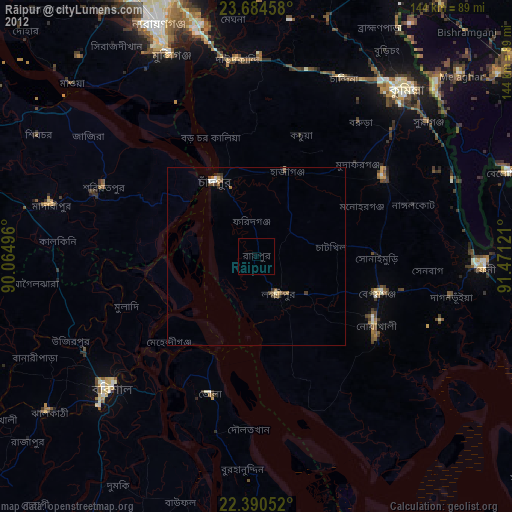
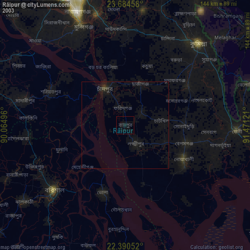
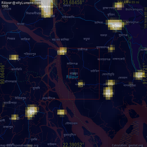
Night Light of Rāipur (Chittagong) from space (Bangladesh) Src. Average luminocity for 10x10km area is 1.0575% and for 50x50km: 1.4407%.
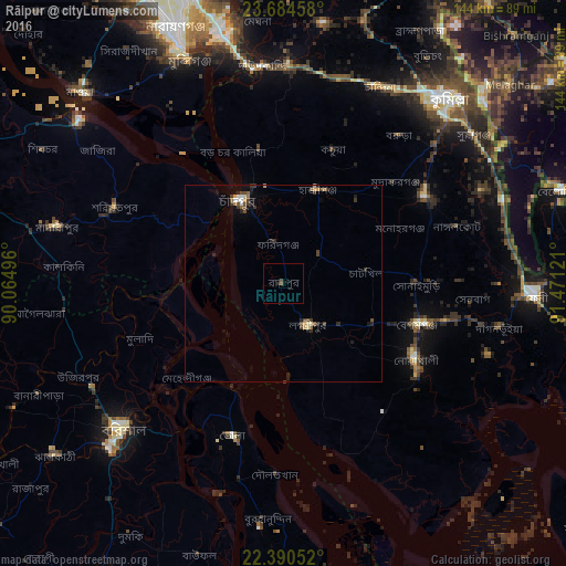
Analysis of Rāipur night lights 2016
Square area 10x10 km:
 0%
0%90-99
0%80-89
0%70-79
0%60-69
0%50-59
0.79%40-49
0%30-39
0.79%20-29
0.79%10-19
0%0-9
97.62%Square area 50x50 km:
0.09%90-99
0.16%80-89
0.07%70-79
0.2%60-69
0.11%50-59
0.22%40-49
0.44%30-39
0.54%20-29
0.35%10-19
0.5%0-9
97.32%Clear (daylight) street map image can be seen on geolist.org.
Map coordinates:
23° 41' 4.5" North, 90° 3' 53.9" East
23° 2' 20.8" North, 90° 46' 5.1" East
22° 23' 25.9" North, 91° 28' 16.4" East
Some cities around Rāipur sort by population:
• Barisāl
55.2 km =34.3 mi,  227°
227°
• Bhola
41.1 km =25.5 mi,  198°
198°
• Lākshām
42.5 km =26.4 mi,  58°
58°
• Pālang
47.1 km =29.3 mi,  295°
295°
• Lakshmīpur
12.3 km =7.6 mi,  148°
148°
• Rāmganj
10.8 km =6.7 mi,  50°
50°
• Hājīganj
25.3 km =15.7 mi,  20°
20°
• Mehendiganj
34.4 km =21.4 mi, 225°
1185236 (p: 64,652)
Sources (retrieved 2019-11-25):
» NASA, Earths city lights 1995
» NASA city lights 2003
» Earth at Night: Flat Maps 2012, 2016