Lakshmīpur night lights from space
Night Light of Lakshmīpur (Chittagong) from space (Bangladesh) Src. Average luminocity for 10x10km area is 7.9663% and for 50x50km: 0.7302%.
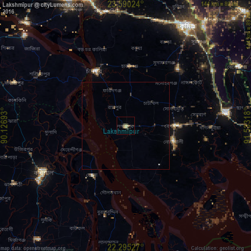
Analysis of Lakshmīpur night lights 2016
Square area 10x10 km:
 0%
0%90-99
0.79%80-89
1.59%70-79
1.59%60-69
0%50-59
0.99%40-49
2.18%30-39
3.57%20-29
1.98%10-19
0.79%0-9
86.51%Square area 50x50 km:
0.02%90-99
0.05%80-89
0.06%70-79
0.06%60-69
0%50-59
0.08%40-49
0.16%30-39
0.29%20-29
0.39%10-19
0.32%0-9
98.58%Clear (daylight) street map image can be seen on geolist.org.
Map coordinates:
23° 35' 24.9" North, 90° 7' 36.9" East
22° 56' 39.5" North, 90° 49' 48.2" East
22° 17' 43" North, 91° 31' 59.4" East
Some cities around Lakshmīpur sort by population:
• Barisāl
54.1 km =33.6 mi,  240°
240°
• Bhola
34.3 km =21.3 mi,  213°
213°
• Pālang
57.7 km =35.9 mi,  301°
301°
• Rāipur
12.3 km =7.6 mi,  328°
328°
• Rāmganj
17.5 km =10.9 mi,  6°
6°
• Burhānuddin
51.1 km =31.8 mi,  192°
192°
• Hājīganj
34.3 km =21.3 mi,  4°
4°
• Mehendiganj
33.7 km =20.9 mi,  246°
246°
1196292 (p: 61,703)
Sources (retrieved 2019-11-25):
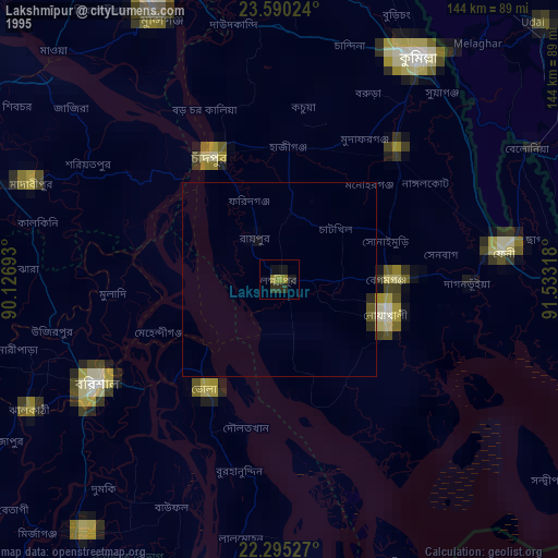
» NASA, Earths city lights 1995
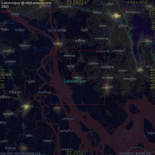
» NASA city lights 2003
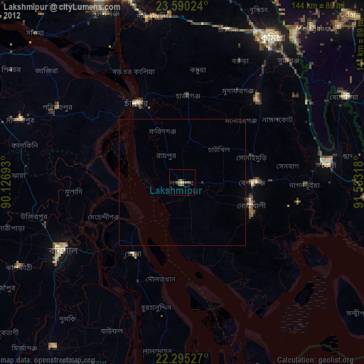
» Earth at Night: Flat Maps 2012, 2016