Bājitpur night lights from space
Night Light of Bājitpur (Dhaka) from space (Bangladesh) Src. Average luminocity for 10x10km area is 12.5455% and for 50x50km: 7.8323%.
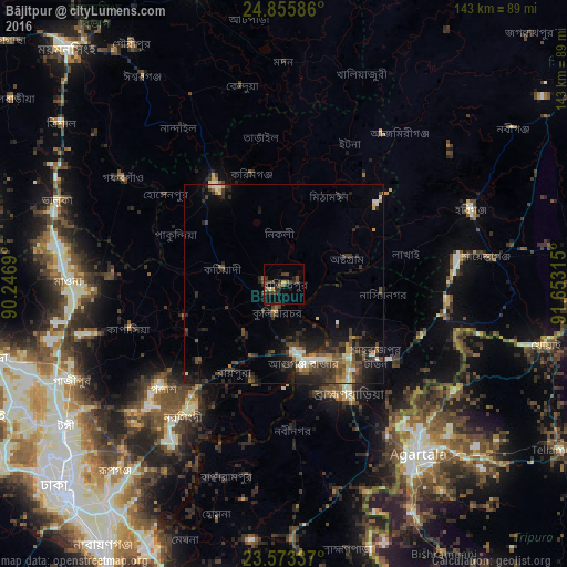
Analysis of Bājitpur night lights 2016
Square area 10x10 km:
 0%
0%90-99
0.57%80-89
0.95%70-79
0.76%60-69
0.19%50-59
3.03%40-49
4.73%30-39
7.95%20-29
5.3%10-19
3.22%0-9
73.3%Square area 50x50 km:
0.39%90-99
1.11%80-89
0.6%70-79
0.62%60-69
0.83%50-59
1.17%40-49
2.17%30-39
2.46%20-29
3.54%10-19
5.15%0-9
81.96%Clear (daylight) street map image can be seen on geolist.org.
Map coordinates:
24° 51' 21.1" North, 90° 14' 48.8" East
24° 12' 58.4" North, 90° 57' 0.1" East
23° 34' 24.1" North, 91° 39' 11.3" East
Some cities around Bājitpur sort by population:
• Narsingdi
40.2 km =25 mi,  215°
215°
• Agartala, IN
53.9 km =33.5 mi,  141°
141°
• Bhairab Bāzār
18.4 km =11.4 mi,  171°
171°
• Kishorganj
30 km =18.6 mi,  325°
325°
• Habiganj
50.3 km =31.3 mi,  68°
68°
• Baniachang
53.3 km =33.1 mi,  50°
50°
• Gafargaon
46.4 km =28.8 mi,  301°
301°
• Nabīnagar
36.6 km =22.7 mi,  177°
177°
1185276 (p: 34,560)
Sources (retrieved 2019-11-25):
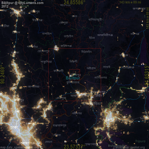
» Earth at Night: Flat Maps 2012, 2016