Lālmohan night lights from space
Night Light of Lālmohan (Barisāl) from space (Bangladesh) Src. Average luminocity for 10x10km area is 0.0966% and for 50x50km: 0.7409%.
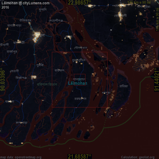
Analysis of Lālmohan night lights 2016
Square area 10x10 km:
 0%
0%90-99
0%80-89
0%70-79
0%60-69
0%50-59
0%40-49
0%30-39
0%20-29
0%10-19
0%0-9
100%Square area 50x50 km:
0.02%90-99
0.02%80-89
0%70-79
0.07%60-69
0.06%50-59
0.08%40-49
0.19%30-39
0.2%20-29
0.92%10-19
0.62%0-9
97.83%Clear (daylight) street map image can be seen on geolist.org.
Map coordinates:
22° 59' 11.7" North, 90° 2' 2.3" East
22° 20' 15.9" North, 90° 44' 13.5" East
21° 41' 9.1" North, 91° 26' 24.8" East
Some cities around Lālmohan sort by population:
• Barisāl
55.6 km =34.5 mi,  317°
317°
• Bhola
40.1 km =24.9 mi,  346°
346°
• Lakshmīpur
68.1 km =42.3 mi,  8°
8°
• Uttar Char Fasson
12.6 km =7.8 mi,  191°
191°
• Burhānuddin
17.6 km =10.9 mi,  355°
355°
• Mehendiganj
58 km =36 mi,  338°
338°
• Nālchiti
58.2 km =36.2 mi,  304°
304°
• Bhāndāria
71.3 km =44.3 mi,  283°
283°
1185251 (p: 42,220)
Sources (retrieved 2019-11-25):
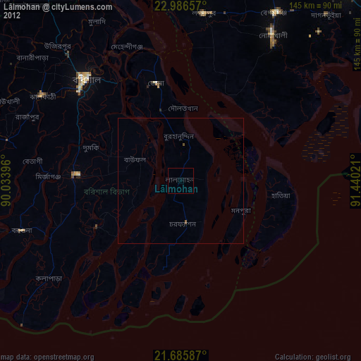
» Earth at Night: Flat Maps 2012, 2016