Sylhet night lights from space
Night Light of Sylhet from space (Bangladesh) Src. Average luminocity for 10x10km area is 55.9375% and for 50x50km: 5.16%.
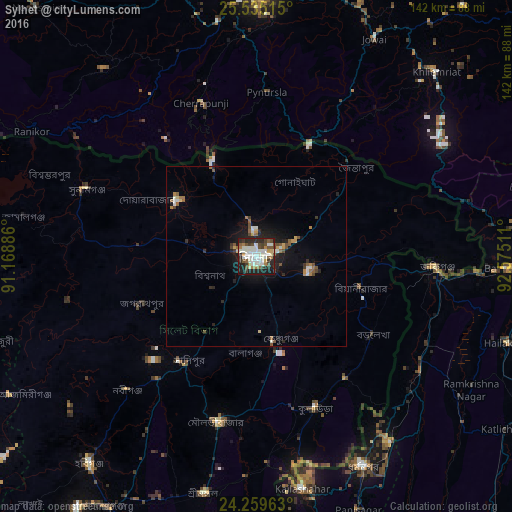
Analysis of Sylhet night lights 2016
Square area 10x10 km:
 6.82%
6.82%90-99
25.57%80-89
2.46%70-79
2.08%60-69
6.82%50-59
5.3%40-49
9.28%30-39
6.44%20-29
19.89%10-19
15.15%0-9
0.19%Square area 50x50 km:
0.4%90-99
1.36%80-89
0.29%70-79
0.39%60-69
0.69%50-59
0.77%40-49
0.78%30-39
0.58%20-29
1.57%10-19
3.56%0-9
89.61%Clear (daylight) street map image can be seen on geolist.org.
Map coordinates:
25° 32' 6.5" North, 91° 10' 7.9" East
24° 53' 56.5" North, 91° 52' 19.1" East
24° 15' 34.7" North, 92° 34' 30.4" East
Some cities around Sylhet sort by population:
• Maulavi Bāzār
46.7 km =29 mi,  192°
192°
• Karīmganj, IN
48.9 km =30.4 mi,  93°
93°
• Chhātak
25.6 km =15.9 mi,  307°
307°
• Baniachang
67 km =41.6 mi,  230°
230°
• Dharmanagar, IN
66.3 km =41.2 mi,  153°
153°
• Kailāshahar, IN
64.4 km =40 mi,  168°
168°
• Cherrapunji, IN
48.1 km =29.9 mi,  338°
338°
• Badarpur, IN
73.1 km =45.4 mi, 92°
1185099 (p: 237,000)
Sources (retrieved 2019-11-25):
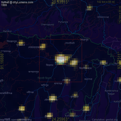
» NASA, Earths city lights 1995
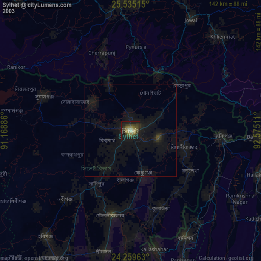
» NASA city lights 2003
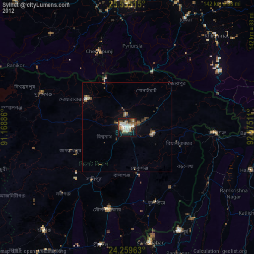
» Earth at Night: Flat Maps 2012, 2016