Karīmganj night lights from space
Night Light of Karīmganj (Assam) from space (India) Src. Average luminocity for 10x10km area is 9.3788% and for 50x50km: 1.6786%.
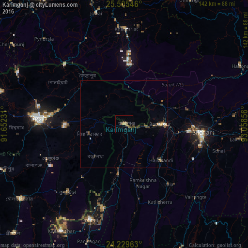
Analysis of Karīmganj night lights 2016
Square area 10x10 km:
 0%
0%90-99
0%80-89
1.89%70-79
1.14%60-69
1.52%50-59
1.33%40-49
4.17%30-39
3.03%20-29
1.7%10-19
0.76%0-9
84.47%Square area 50x50 km:
0.05%90-99
0.1%80-89
0.16%70-79
0.16%60-69
0.24%50-59
0.28%40-49
0.56%30-39
0.52%20-29
0.69%10-19
0.39%0-9
96.87%Clear (daylight) street map image can be seen on geolist.org.
Map coordinates:
25° 30' 19.7" North, 91° 39' 8.3" East
24° 52' 9.1" North, 92° 21' 19.5" East
24° 13' 46.7" North, 93° 3' 30.8" East
Some cities around Karīmganj sort by population:
• Sylhet, BD
48.9 km =30.4 mi,  273°
273°
• Silchar
44.9 km =27.9 mi,  95°
95°
• Dharmanagar
59 km =36.7 mi,  198°
198°
• Hailākāndi
29.2 km =18.1 mi,  134°
134°
• Kailāshahar
69.5 km =43.2 mi,  210°
210°
• Lakhipur
66.5 km =41.3 mi, 97°
• Badarpur
24.3 km =15.1 mi,  90°
90°
• Lāla
43.8 km =27.2 mi,  143°
143°
1267758 (p: 55,290)
Sources (retrieved 2019-11-25):
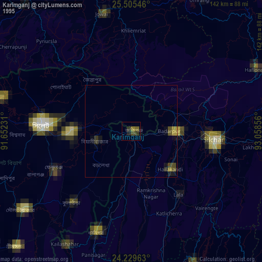
» NASA, Earths city lights 1995
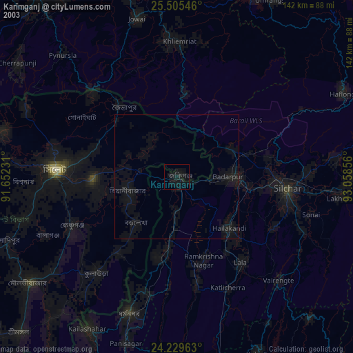
» NASA city lights 2003
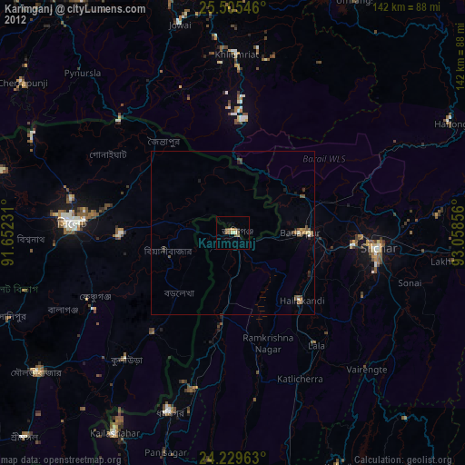
» Earth at Night: Flat Maps 2012, 2016