Šipovo night lights from space
Night Light of Šipovo (Srpska) from space (Bosnia and Herzegovina) Src. Average luminocity for 10x10km area is 2.247% and for 50x50km: 0.5886%.
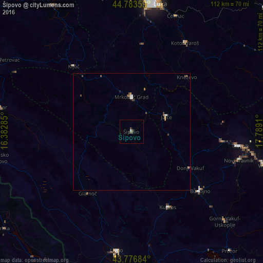
Analysis of Šipovo night lights 2016
Square area 10x10 km:
 0.45%
0.45%90-99
0.15%80-89
0%70-79
0%60-69
0%50-59
0.76%40-49
1.67%30-39
0%20-29
1.21%10-19
0.61%0-9
95.15%Square area 50x50 km:
0.08%90-99
0.09%80-89
0.02%70-79
0.04%60-69
0.1%50-59
0.11%40-49
0.2%30-39
0.12%20-29
0.09%10-19
0.04%0-9
99.1%Clear (daylight) street map image can be seen on geolist.org.
Map coordinates:
44° 47' 0.9" North, 16° 22' 58.3" East
44° 16' 56.5" North, 17° 5' 9.5" East
43° 46' 36.6" North, 17° 47' 20.8" East
Some cities around Šipovo sort by population:
• Bugojno
38.4 km =23.9 mi,  130°
130°
• Mrkonjić Grad
15 km =9.3 mi,  359°
359°
• Jajce
16.1 km =10 mi,  65°
65°
• Donji Vakuf
29.4 km =18.3 mi,  121°
121°
• Divičani
21.3 km =13.2 mi,  63°
63°
• Ključ
37.1 km =23.1 mi,  318°
318°
• Kneževo
33 km =20.5 mi,  45°
45°
• Kotor Varoš
43.7 km =27.2 mi,  31°
31°
3190837 (p: 10,738)
Sources (retrieved 2019-11-25):
» Earth at Night: Flat Maps 2012, 2016