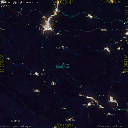
Kneževo night lights from space
Night Light of Kneževo (Srpska) from space (Bosnia and Herzegovina) Src. Average luminocity for 10x10km area is 0.5286% and for 50x50km: 0.7219%.
Analysis of Kneževo night lights 2016
Square area 10x10 km:
 0%
0%90-99
0%80-89
0%70-79
0%60-69
0%50-59
0%40-49
0.63%30-39
0.63%20-29
0%10-19
0%0-9
98.73%Square area 50x50 km:
0.08%90-99
0.11%80-89
0.04%70-79
0.07%60-69
0.1%50-59
0.11%40-49
0.2%30-39
0.19%20-29
0.13%10-19
0.08%0-9
98.9%Clear (daylight) street map image can be seen on geolist.org.
Map coordinates:
44° 59' 24.5" North, 16° 40' 42.6" East
44° 29' 26.6" North, 17° 22' 53.8" East
43° 59' 13.1" North, 18° 5' 5.1" East
Some cities around Kneževo sort by population:
• Mrkonjić Grad
25.1 km =15.6 mi,  251°
251°
• Šipovo
33 km =20.5 mi,  225°
225°
• Jajce
18.7 km =11.6 mi,  208°
208°
• Divičani
14.4 km =8.9 mi,  197°
197°
• Čelinac
26.4 km =16.4 mi,  350°
350°
• Blatnica
35 km =21.7 mi,  90°
90°
• Mejdan - Obilićevo
33.9 km =21.1 mi,  333°
333°
• Kotor Varoš
14.2 km =8.8 mi,  356°
356°
3190733 (p: 6,866)
Sources (retrieved 2019-11-25):
» Earth at Night: Flat Maps 2012, 2016