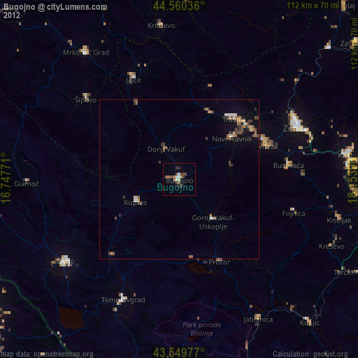
Bugojno night lights from space
Night Light of Bugojno (Federation of B&H) from space (Bosnia and Herzegovina) Src. Average luminocity for 10x10km area is 4.9651% and for 50x50km: 1.4643%.
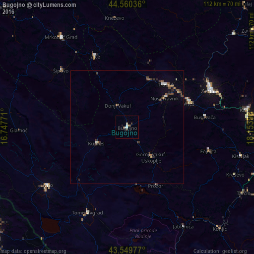
Analysis of Bugojno night lights 2016
Square area 10x10 km:
 0.16%
0.16%90-99
1.75%80-89
0.63%70-79
0.63%60-69
0%50-59
0.63%40-49
1.75%30-39
0.16%20-29
0.16%10-19
0.48%0-9
93.65%Square area 50x50 km:
0.05%90-99
0.24%80-89
0.09%70-79
0.04%60-69
0.21%50-59
0.3%40-49
0.52%30-39
0.35%20-29
0.31%10-19
0.39%0-9
97.49%Clear (daylight) street map image can be seen on geolist.org.
Map coordinates:
44° 33' 37.3" North, 16° 44' 51.8" East
44° 3' 26" North, 17° 27' 3" East
43° 32' 59.2" North, 18° 9' 14.3" East
Some cities around Bugojno sort by population:
• Travnik
25.5 km =15.8 mi,  42°
42°
• Prozor
29 km =18 mi,  154°
154°
• Novi Travnik
20.9 km =13 mi,  52°
52°
• Jajce
34.8 km =21.6 mi,  335°
335°
• Vitez
29.2 km =18.1 mi,  68°
68°
• Donji Vakuf
10.4 km =6.5 mi, 337°
• Divičani
35.8 km =22.2 mi, 343°
• Gornji Vakuf
17.2 km =10.7 mi,  140°
140°
3203099 (p: 41,378)
Sources (retrieved 2019-11-25):
» Earth at Night: Flat Maps 2012, 2016