İsmayıllı night lights from space
Night Light of İsmayıllı from space (Azerbaijan) Src. Average luminocity for 10x10km area is 2.4692% and for 50x50km: 0.4673%.
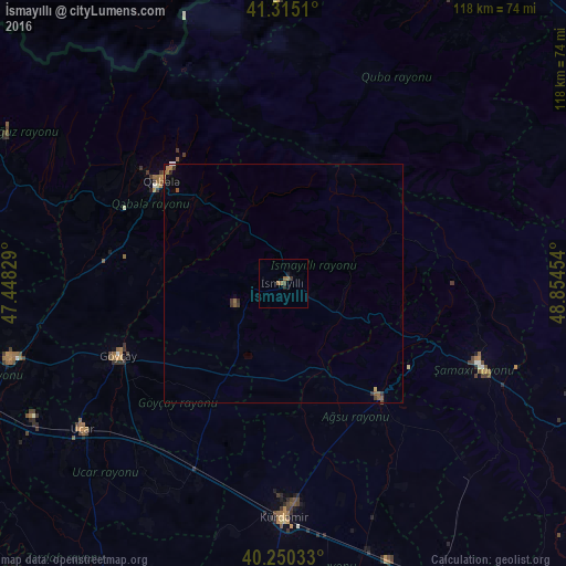
Analysis of İsmayıllı night lights 2016
Square area 10x10 km:
 0%
0%90-99
0%80-89
0%70-79
0%60-69
1.14%50-59
1.46%40-49
0.65%30-39
0.65%20-29
0.65%10-19
0.65%0-9
94.81%Square area 50x50 km:
0%90-99
0.03%80-89
0.03%70-79
0.02%60-69
0.12%50-59
0.25%40-49
0.05%30-39
0.21%20-29
0.08%10-19
0.04%0-9
99.18%Clear (daylight) street map image can be seen on geolist.org.
Map coordinates:
41° 18' 54.4" North, 47° 26' 53.8" East
40° 47' 5.5" North, 48° 9' 5.1" East
40° 15' 1.2" North, 48° 51' 16.3" East
Some cities around İsmayıllı sort by population:
• Geoktschai
37.6 km =23.4 mi,  246°
246°
• Shamakhi
44.7 km =27.8 mi,  112°
112°
• Ağdaş
59.1 km =36.7 mi, 254°
• Kyurdarmir
49.2 km =30.6 mi,  179°
179°
• Aghsu
31.8 km =19.8 mi,  138°
138°
• Ujar
51.3 km =31.9 mi,  234°
234°
• Qutqashen
33.6 km =20.9 mi,  310°
310°
• Kurush, RU
61.5 km =38.2 mi,  334°
334°
586318 (p: 13,610)
Sources (retrieved 2019-11-25):
» Earth at Night: Flat Maps 2012, 2016