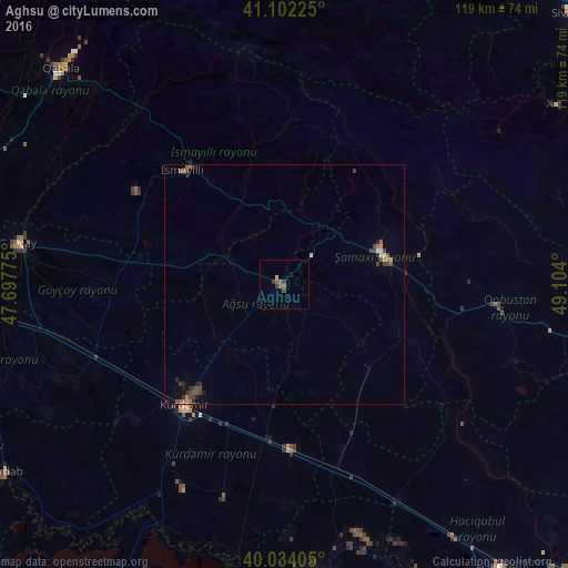
Aghsu night lights from space
Night Light of Aghsu (Ağsu) from space (Azerbaijan) Src. Average luminocity for 10x10km area is 3.3019% and for 50x50km: 1.0171%.
Analysis of Aghsu night lights 2016
Square area 10x10 km:
 0%
0%90-99
0%80-89
0.32%70-79
0.32%60-69
0%50-59
2.6%40-49
0.65%30-39
1.95%20-29
0%10-19
0%0-9
94.16%Square area 50x50 km:
0.06%90-99
0.04%80-89
0.05%70-79
0.08%60-69
0.2%50-59
0.33%40-49
0.31%30-39
0.37%20-29
0.2%10-19
0.17%0-9
98.21%Clear (daylight) street map image can be seen on geolist.org.
Map coordinates:
41° 6' 8.1" North, 47° 41' 51.9" East
40° 34' 13" North, 48° 24' 3.1" East
40° 2' 2.6" North, 49° 6' 14.4" East
Some cities around Aghsu sort by population:
• Geoktschai
56.3 km =35 mi,  279°
279°
• Shamakhi
21.4 km =13.3 mi,  71°
71°
• Sabirabad
62.8 km =39 mi,  174°
174°
• Kyurdarmir
32.7 km =20.3 mi,  219°
219°
• Ujar
63.3 km =39.3 mi,  264°
264°
• İsmayıllı
31.8 km =19.8 mi,  318°
318°
• Qutqashen
65.3 km =40.6 mi,  314°
314°
• Qobustan
44.7 km =27.8 mi,  95°
95°
587361 (p: 17,209)
Sources (retrieved 2019-11-25):
» Earth at Night: Flat Maps 2012, 2016