Neftçala night lights from space
Night Light of Neftçala from space (Azerbaijan) Src. Average luminocity for 10x10km area is 11.4082% and for 50x50km: 1.5162%.
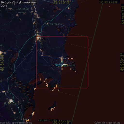
Analysis of Neftçala night lights 2016
Square area 10x10 km:
 0%
0%90-99
0%80-89
1.53%70-79
4.93%60-69
2.72%50-59
0.68%40-49
3.06%30-39
0.68%20-29
1.87%10-19
0.51%0-9
84.01%Square area 50x50 km:
0%90-99
0.04%80-89
0.13%70-79
0.82%60-69
0.29%50-59
0.1%40-49
0.29%30-39
0.16%20-29
0.18%10-19
0.18%0-9
97.81%Clear (daylight) street map image can be seen on geolist.org.
Map coordinates:
39° 55' 5.5" North, 48° 32' 38" East
39° 22' 36.5" North, 49° 14' 49.2" East
38° 49' 52.2" North, 49° 57' 0.5" East
Some cities around Neftçala sort by population:
• Şirvan
68.1 km =42.3 mi,  336°
336°
• Salyan
33.2 km =20.6 mi,  317°
317°
• Jalilabad
67.6 km =42 mi,  254°
254°
• Pushkino
61 km =37.9 mi,  278°
278°
• Prishibinskoye
63.1 km =39.2 mi,  243°
243°
• Masally
62.9 km =39.1 mi,  232°
232°
• Severo-Vostotchnyi Bank
3.8 km =2.4 mi,  1°
1°
• Boradigah
67.9 km =42.2 mi,  223°
223°
147425 (p: 18,661)
Sources (retrieved 2019-11-25):
» Earth at Night: Flat Maps 2012, 2016