Qax night lights from space
Night Light of Qax (Qǝx) from space (Azerbaijan) Src. Average luminocity for 10x10km area is 6.2653% and for 50x50km: 0.6223%.
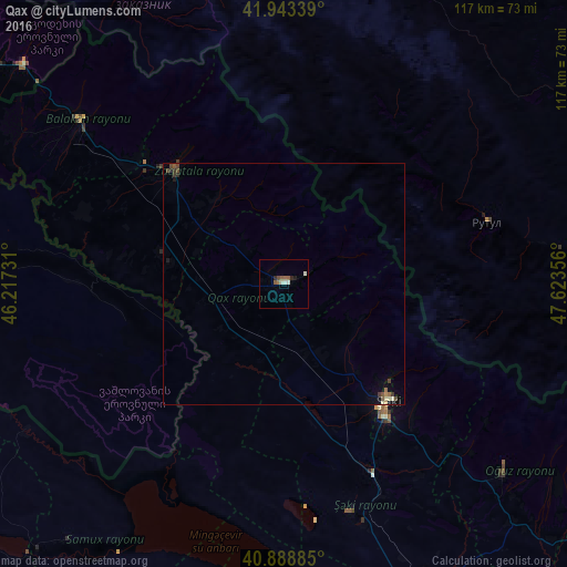
Analysis of Qax night lights 2016
Square area 10x10 km:
 0.68%
0.68%90-99
1.53%80-89
0.51%70-79
0%60-69
1.19%50-59
2.21%40-49
0.68%30-39
0%20-29
1.53%10-19
0.51%0-9
91.16%Square area 50x50 km:
0.03%90-99
0.13%80-89
0.05%70-79
0%60-69
0.07%50-59
0.19%40-49
0.18%30-39
0.12%20-29
0.12%10-19
0.1%0-9
99.01%Clear (daylight) street map image can be seen on geolist.org.
Map coordinates:
41° 56' 36.2" North, 46° 13' 2.3" East
41° 25' 5.7" North, 46° 55' 13.5" East
40° 53' 19.9" North, 47° 37' 24.8" East
Some cities around Qax sort by population:
• Sheki
32.7 km =20.3 mi,  140°
140°
• Zaqatala
33 km =20.5 mi,  315°
315°
• Akhty, RU
67.7 km =42.1 mi,  86°
86°
• Belokany
54.9 km =34.1 mi,  308°
308°
• Aliabad
24.9 km =15.5 mi,  286°
286°
• Oğuz
59.7 km =37.1 mi,  130°
130°
• Lagodekhi, GE
70.2 km =43.6 mi, 310°
• Çinarlı
5.7 km =3.5 mi,  356°
356°
585227 (p: 11,992)
Sources (retrieved 2019-11-25):
» Earth at Night: Flat Maps 2012, 2016