Aliabad night lights from space
Night Light of Aliabad (Zaqatala) from space (Azerbaijan) Src. Average luminocity for 10x10km area is 0.3265% and for 50x50km: 0.3723%.
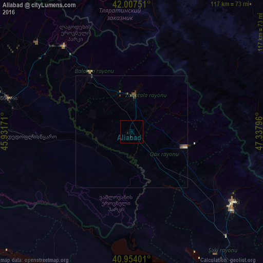
Analysis of Aliabad night lights 2016
Square area 10x10 km:
 0%
0%90-99
0%80-89
0%70-79
0%60-69
0%50-59
0%40-49
0%30-39
0%20-29
0.68%10-19
0.68%0-9
98.64%Square area 50x50 km:
0.03%90-99
0.03%80-89
0.02%70-79
0%60-69
0.07%50-59
0.11%40-49
0.12%30-39
0.15%20-29
0.13%10-19
0.07%0-9
99.27%Clear (daylight) street map image can be seen on geolist.org.
Map coordinates:
42° 0' 27" North, 45° 55' 54.2" East
41° 28' 58.4" North, 46° 38' 5.4" East
40° 57' 14.4" North, 47° 20' 16.7" East
Some cities around Aliabad sort by population:
• Sheki
55.2 km =34.3 mi,  125°
125°
• Zaqatala
16.6 km =10.3 mi,  2°
2°
• Qax
24.9 km =15.5 mi,  106°
106°
• Gurjaani, GE
75.1 km =46.7 mi,  292°
292°
• Belokany
33.1 km =20.6 mi,  324°
324°
• Tsnori, GE
57.5 km =35.7 mi, 285°
• Lagodekhi, GE
48.5 km =30.1 mi, 322°
• Çinarlı
23.5 km =14.6 mi,  93°
93°
587319 (p: 9,103)
Sources (retrieved 2019-11-25):
» Earth at Night: Flat Maps 2012, 2016