Belokany night lights from space
Night Light of Belokany (Balakǝn) from space (Azerbaijan) Src. Average luminocity for 10x10km area is 2.8474% and for 50x50km: 0.5431%.
Analysis of Belokany night lights 2016
Square area 10x10 km:
 0%
0%90-99
0%80-89
0.16%70-79
1.14%60-69
0.65%50-59
0%40-49
0.97%30-39
1.62%20-29
0.65%10-19
0%0-9
94.81%Square area 50x50 km:
0%90-99
0.02%80-89
0.01%70-79
0.05%60-69
0.1%50-59
0.12%40-49
0.28%30-39
0.25%20-29
0.21%10-19
0.17%0-9
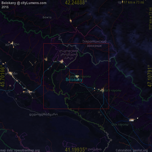
98.8%Clear (daylight) street map image can be seen on geolist.org.
Map coordinates:
42° 14' 56" North, 45° 42' 6" East
41° 43' 34.5" North, 46° 24' 17.2" East
41° 11' 57.7" North, 47° 6' 28.5" East
Some cities around Belokany sort by population:
• Zaqatala
22.5 km =14 mi,  117°
117°
• Qax
54.9 km =34.1 mi,  128°
128°
• Gurjaani, GE
50.1 km =31.1 mi,  272°
272°
• Aliabad
33.1 km =20.6 mi,  144°
144°
• Qvareli, GE
54.9 km =34.1 mi,  297°
297°
• Tsnori, GE
38 km =23.6 mi,  252°
252°
• Lagodekhi, GE
15.4 km =9.6 mi,  316°
316°
• Çinarlı
51.2 km =31.8 mi, 123°
587070 (p: 9,182)
Sources (retrieved 2019-11-25):
» Earth at Night: Flat Maps 2012, 2016