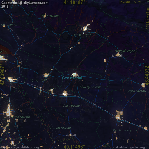
Geoktschai night lights from space
Night Light of Geoktschai (Göyçay) from space (Azerbaijan) Src. Average luminocity for 10x10km area is 6.7695% and for 50x50km: 1.0683%.
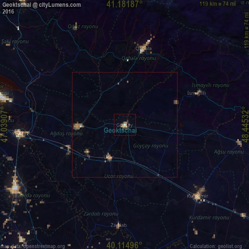
Analysis of Geoktschai night lights 2016
Square area 10x10 km:
 0%
0%90-99
0.65%80-89
0.16%70-79
1.46%60-69
1.46%50-59
2.11%40-49
0.16%30-39
1.79%20-29
3.9%10-19
0.65%0-9
87.66%Square area 50x50 km:
0.01%90-99
0.07%80-89
0.01%70-79
0.09%60-69
0.31%50-59
0.44%40-49
0.2%30-39
0.33%20-29
0.33%10-19
0.1%0-9
98.12%Clear (daylight) street map image can be seen on geolist.org.
Map coordinates:
41° 10' 54.7" North, 47° 2' 20.7" East
40° 39' 2" North, 47° 44' 31.9" East
40° 6' 53.9" North, 48° 26' 43.2" East
Some cities around Geoktschai sort by population:
• Yevlakh
50.1 km =31.1 mi,  265°
265°
• Ağdaş
22.6 km =14 mi, 268°
• Kyurdarmir
49 km =30.4 mi,  134°
134°
• Ujar
16.4 km =10.2 mi,  206°
206°
• İsmayıllı
37.6 km =23.4 mi,  66°
66°
• Qutqashen
38 km =23.6 mi,  13°
13°
• Zardob
48.1 km =29.9 mi,  183°
183°
• Oğuz
52.3 km =32.5 mi,  333°
333°
586427 (p: 35,348)
Sources (retrieved 2019-11-25):
» Earth at Night: Flat Maps 2012, 2016