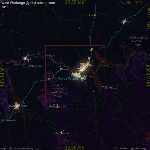
West Wodonga night lights from space
Night Light of West Wodonga (Victoria) from space (Australia) Src. Average luminocity for 10x10km area is 32.8846% and for 50x50km: 4.1341%.
Analysis of West Wodonga night lights 2016
Square area 10x10 km:
 4.21%
4.21%90-99
5.86%80-89
2.38%70-79
5.68%60-69
8.24%50-59
3.48%40-49
2.93%30-39
3.85%20-29
11.17%10-19
21.79%0-9
30.4%Square area 50x50 km:
0.37%90-99
0.43%80-89
0.28%70-79
0.72%60-69
1.01%50-59
0.85%40-49
0.3%30-39
0.43%20-29
1.43%10-19
3.48%0-9
90.69%Clear (daylight) street map image can be seen on geolist.org.
Map coordinates:
35° 33' 12.5" South, 146° 8' 55.7" East
36° 7' 24.5" South, 146° 51' 6.9" East
36° 41' 21.7" South, 147° 33' 18.2" East
Some cities around West Wodonga sort by population:
• Wodonga
3.3 km =2.1 mi,  86°
86°
• Wangaratta
54.3 km =33.7 mi,  241°
241°
• Lavington
12.2 km =7.6 mi,  40°
40°
• Thurgoona
16.2 km =10.1 mi,  53°
53°
• East Albury
8.4 km =5.2 mi,  56°
56°
• North Albury
10.1 km =6.3 mi, 43°
• Albury
8.4 km =5.2 mi, 50°
• Corowa
44.2 km =27.5 mi,  288°
288°
11694936 (p: 14,281)
Sources (retrieved 2019-11-25):
» Earth at Night: Flat Maps 2012, 2016