Wodonga night lights from space
Night Light of Wodonga (Victoria) from space (Australia) Src. Average luminocity for 10x10km area is 44.8938% and for 50x50km: 4.1076%.
Analysis of Wodonga night lights 2016
Square area 10x10 km:
 6.59%
6.59%90-99
8.06%80-89
3.11%70-79
8.79%60-69
9.16%50-59
5.49%40-49
3.85%30-39
5.31%20-29
21.61%10-19
24.54%0-9
3.48%Square area 50x50 km:
0.37%90-99
0.43%80-89
0.28%70-79
0.72%60-69
1%50-59
0.84%40-49
0.3%30-39
0.42%20-29
1.42%10-19
3.48%0-9
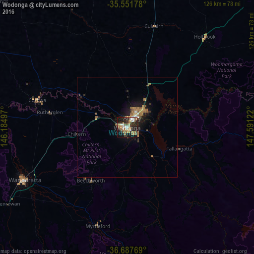
90.74%Clear (daylight) street map image can be seen on geolist.org.
Map coordinates:
35° 33' 6.4" South, 146° 11' 5.9" East
36° 7' 18.4" South, 146° 53' 17.1" East
36° 41' 15.7" South, 147° 35' 28.4" East
Some cities around Wodonga sort by population:
• Wangaratta
57.3 km =35.6 mi,  242°
242°
• West Wodonga
3.3 km =2.1 mi,  266°
266°
• Lavington
10.2 km =6.3 mi,  26°
26°
• Thurgoona
13.6 km =8.5 mi,  45°
45°
• East Albury
5.9 km =3.7 mi,  39°
39°
• North Albury
8.1 km =5 mi, 27°
• Albury
6.1 km =3.8 mi, 31°
• Corowa
47.3 km =29.4 mi,  287°
287°
2143285 (p: 18,582)
Sources (retrieved 2019-11-25):
» Earth at Night: Flat Maps 2012, 2016