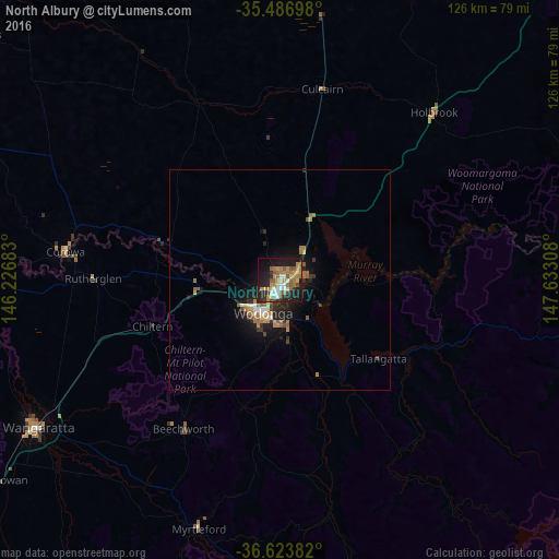
North Albury night lights from space
Night Light of North Albury (New South Wales) from space (Australia) Src. Average luminocity for 10x10km area is 44.7198% and for 50x50km: 4.1702%.
Analysis of North Albury night lights 2016
Square area 10x10 km:
 5.86%
5.86%90-99
5.49%80-89
4.58%70-79
9.52%60-69
11.17%50-59
9.89%40-49
3.11%30-39
2.01%20-29
15.57%10-19
27.11%0-9
5.68%Square area 50x50 km:
0.38%90-99
0.44%80-89
0.29%70-79
0.73%60-69
1.02%50-59
0.84%40-49
0.29%30-39
0.45%20-29
1.4%10-19
3.56%0-9
90.6%Clear (daylight) street map image can be seen on geolist.org.
Map coordinates:
35° 29' 13.1" South, 146° 13' 36.6" East
36° 3' 26.8" South, 146° 55' 47.8" East
36° 37' 25.8" South, 147° 37' 59.1" East
Some cities around North Albury sort by population:
• Wodonga
8.1 km =5 mi,  207°
207°
• Wangaratta
64.1 km =39.8 mi,  238°
238°
• West Wodonga
10.1 km =6.3 mi,  223°
223°
• Lavington
2.1 km =1.3 mi,  23°
23°
• Thurgoona
6.4 km =4 mi,  68°
68°
• East Albury
2.7 km =1.7 mi,  180°
180°
• Albury
2 km =1.2 mi,  195°
195°
• Corowa
49.4 km =30.7 mi,  277°
277°
10116099 (p: 5,913)
Sources (retrieved 2019-11-25):
» Earth at Night: Flat Maps 2012, 2016