Thurgoona night lights from space
Night Light of Thurgoona (New South Wales) from space (Australia) Src. Average luminocity for 10x10km area is 25.0055% and for 50x50km: 4.1347%.
Analysis of Thurgoona night lights 2016
Square area 10x10 km:
 0.55%
0.55%90-99
2.01%80-89
3.3%70-79
4.03%60-69
8.97%50-59
7.88%40-49
1.1%30-39
3.48%20-29
3.48%10-19
20.15%0-9
45.05%Square area 50x50 km:
0.38%90-99
0.44%80-89
0.29%70-79
0.72%60-69
1%50-59
0.82%40-49
0.29%30-39
0.44%20-29
1.42%10-19
3.54%0-9
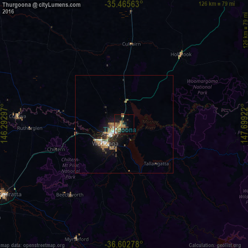
90.67%Clear (daylight) street map image can be seen on geolist.org.
Map coordinates:
35° 27' 56.3" South, 146° 17' 34.7" East
36° 2' 10.5" South, 146° 59' 45.9" East
36° 36' 10" South, 147° 41' 57.2" East
Some cities around Thurgoona sort by population:
• Wodonga
13.6 km =8.5 mi,  225°
225°
• Wangaratta
70.4 km =43.7 mi,  239°
239°
• West Wodonga
16.2 km =10.1 mi, 233°
• Lavington
5.1 km =3.2 mi,  265°
265°
• East Albury
7.8 km =4.8 mi, 229°
• North Albury
6.4 km =4 mi,  248°
248°
• Albury
7.8 km =4.8 mi, 236°
• Corowa
55.1 km =34.2 mi, 274°
8347684 (p: 8,394)
Sources (retrieved 2019-11-25):
» Earth at Night: Flat Maps 2012, 2016