Loganholme night lights from space
Night Light of Loganholme (Queensland) from space (Australia) Src. Average luminocity for 10x10km area is 61.2421% and for 50x50km: 32.2621%.
Analysis of Loganholme night lights 2016
Square area 10x10 km:
 9.72%
9.72%90-99
9.52%80-89
5.95%70-79
2.78%60-69
31.15%50-59
8.93%40-49
7.34%30-39
9.13%20-29
12.5%10-19
2.98%0-9
0%Square area 50x50 km:
5.16%90-99
5.94%80-89
3.78%70-79
4.98%60-69
9.91%50-59
2.77%40-49
3.24%30-39
3.81%20-29
6.08%10-19
11.24%0-9
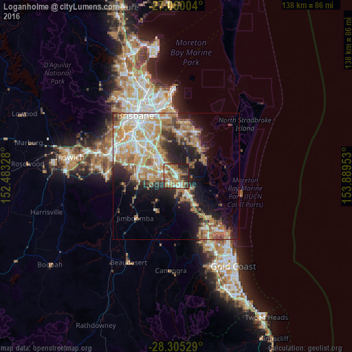
43.1%Clear (daylight) street map image can be seen on geolist.org.
Map coordinates:
27° 3' 36.1" South, 152° 28' 59.8" East
27° 41' 4" South, 153° 11' 11" East
28° 18' 19" South, 153° 53' 22.3" East
Some cities around Loganholme sort by population:
• Eagleby
3 km =1.9 mi,  87°
87°
• Shailer Park
3.9 km =2.4 mi,  347°
347°
• Slacks Creek
5.2 km =3.2 mi,  316°
316°
• Beenleigh
3.4 km =2.1 mi,  151°
151°
• Cornubia
3.6 km =2.2 mi,  56°
56°
• Waterford West
5.3 km =3.3 mi,  262°
262°
• Mount Warren Park
5.5 km =3.4 mi,  160°
160°
• Edens Landing
2.6 km =1.6 mi,  219°
219°
2159734 (p: 6,222)
Sources (retrieved 2019-11-25):
» Earth at Night: Flat Maps 2012, 2016