Victoria Park night lights from space
Night Light of Victoria Park (Western Australia) from space (Australia) Src. Average luminocity for 10x10km area is 95.1399% and for 50x50km: 42.8541%.
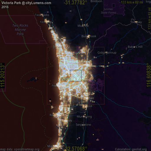
Analysis of Victoria Park night lights 2016
Square area 10x10 km:
 36.54%
90-99
43.36%80-89
14.51%70-79
5.42%60-69
0.17%50-59
0%40-49
0%30-39
0%20-29
0%10-19
0%0-9
0%Square area 50x50 km:
9.34%90-99
10.23%80-89
4.98%70-79
6.67%60-69
8.29%50-59
4.94%40-49
3.51%30-39
3.83%20-29
7%10-19
8.87%0-9
32.34%Clear (daylight) street map image can be seen on geolist.org.
Map coordinates:
31° 22' 40.2" South, 115° 12' 7.7" East
31° 58' 34.3" South, 115° 54' 18.9" East
32° 34' 14.4" South, 116° 36' 30.2" East
Some cities around Victoria Park sort by population:
• South Perth
3.7 km =2.3 mi,  257°
257°
• East Perth
3.8 km =2.4 mi,  301°
301°
• Rivervale
2.4 km =1.5 mi,  17°
17°
• East Victoria Park
1.4 km =0.9 mi,  185°
185°
• Bentley
3.4 km =2.1 mi,  147°
147°
• Cloverdale
4 km =2.5 mi,  67°
67°
• Belmont
4.1 km =2.5 mi,  27°
27°
• Carlisle
1.3 km =0.8 mi,  106°
106°
8478275 (p: 8,493)
Sources (retrieved 2019-11-25):
» Earth at Night: Flat Maps 2012, 2016