Cloverdale night lights from space
Night Light of Cloverdale (Western Australia) from space (Australia) Src. Average luminocity for 10x10km area is 94.3112% and for 50x50km: 43.0569%.
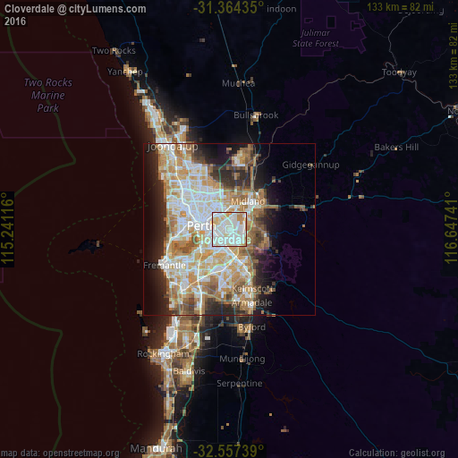
Analysis of Cloverdale night lights 2016
Square area 10x10 km:
 40.91%
90-99
37.76%80-89
10.49%70-79
8.74%60-69
2.1%50-59
0%40-49
0%30-39
0%20-29
0%10-19
0%0-9
0%Square area 50x50 km:
9.51%90-99
10.34%80-89
5%70-79
6.66%60-69
8.46%50-59
4.98%40-49
3.33%30-39
3.63%20-29
6.82%10-19
8.59%0-9
32.68%Clear (daylight) street map image can be seen on geolist.org.
Map coordinates:
31° 21' 51.7" South, 115° 14' 28.2" East
31° 57' 46.1" South, 115° 56' 39.4" East
32° 33' 26.6" South, 116° 38' 50.7" East
Some cities around Cloverdale sort by population:
• Rivervale
3.1 km =1.9 mi,  285°
285°
• East Victoria Park
4.8 km =3 mi,  232°
232°
• Victoria Park
4 km =2.5 mi,  247°
247°
• Bentley
4.8 km =3 mi,  202°
202°
• Belmont
2.8 km =1.7 mi,  320°
320°
• Kewdale
1.9 km =1.2 mi,  158°
158°
• Queens Park
4.5 km =2.8 mi,  177°
177°
• Carlisle
3.1 km =1.9 mi, 233°
8349030 (p: 7,926)
Sources (retrieved 2019-11-25):
» Earth at Night: Flat Maps 2012, 2016