East Perth night lights from space
Night Light of East Perth (Western Australia) from space (Australia) Src. Average luminocity for 10x10km area is 92.451% and for 50x50km: 42.9136%.
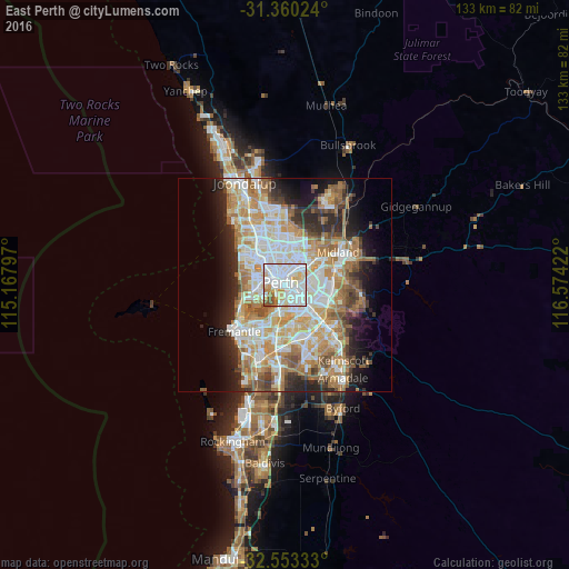
Analysis of East Perth night lights 2016
Square area 10x10 km:
 39.16%
90-99
36.19%80-89
10.66%70-79
6.99%60-69
2.62%50-59
3.5%40-49
0.87%30-39
0%20-29
0%10-19
0%0-9
0%Square area 50x50 km:
9.57%90-99
10.4%80-89
5%70-79
6.64%60-69
8.36%50-59
4.9%40-49
3.22%30-39
3.45%20-29
6.74%10-19
8.54%0-9
33.18%Clear (daylight) street map image can be seen on geolist.org.
Map coordinates:
31° 21' 36.9" South, 115° 10' 4.7" East
31° 57' 31.4" South, 115° 52' 15.9" East
32° 33' 12" South, 116° 34' 27.2" East
Some cities around East Perth sort by population:
• Perth
1.2 km =0.7 mi,  308°
308°
• Perth city centre
2 km =1.2 mi,  289°
289°
• Como
3.7 km =2.3 mi,  191°
191°
• Maylands
3.8 km =2.4 mi,  36°
36°
• South Perth
2.8 km =1.7 mi, 188°
• Mount Lawley
2.7 km =1.7 mi,  1°
1°
• Victoria Park
3.8 km =2.4 mi,  121°
121°
• West Perth
3 km =1.9 mi, 291°
8335007 (p: 11,549)
Sources (retrieved 2019-11-25):
» Earth at Night: Flat Maps 2012, 2016