Ulverstone night lights from space
Night Light of Ulverstone (Tasmania) from space (Australia) Src. Average luminocity for 10x10km area is 6.2273% and for 50x50km: 1.7767%.
Analysis of Ulverstone night lights 2016
Square area 10x10 km:
 0.65%
0.65%90-99
0.65%80-89
0%70-79
0%60-69
1.46%50-59
2.44%40-49
2.44%30-39
1.14%20-29
0.32%10-19
1.3%0-9
89.61%Square area 50x50 km:
0.12%90-99
0.17%80-89
0.21%70-79
0.23%60-69
0.35%50-59
0.26%40-49
0.32%30-39
0.35%20-29
0.3%10-19
0.74%0-9
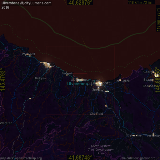
96.95%Clear (daylight) street map image can be seen on geolist.org.
Map coordinates:
40° 37' 43.5" South, 145° 28' 45.5" East
41° 9' 36.9" South, 146° 10' 56.7" East
41° 41' 14.9" South, 146° 53' 8" East
Some cities around Ulverstone sort by population:
• Launceston
85.4 km =53.1 mi,  111°
111°
• Burnie
26.1 km =16.2 mi,  296°
296°
• Devonport
14.3 km =8.9 mi,  97°
97°
• Claremont
200.9 km =124.8 mi,  153°
153°
• Newnham
81.9 km =50.9 mi, 108°
• Riverside
78.1 km =48.5 mi, 111°
• Wynyard
42.7 km =26.5 mi, 296°
• New Norfolk
194.4 km =120.8 mi,  158°
158°
2145532 (p: 6,189)
Sources (retrieved 2019-11-25):
» Earth at Night: Flat Maps 2012, 2016