Devonport night lights from space
Night Light of Devonport (Tasmania) from space (Australia) Src. Average luminocity for 10x10km area is 19.8912% and for 50x50km: 1.3685%.
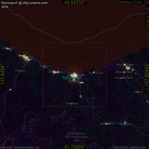
Analysis of Devonport night lights 2016
Square area 10x10 km:
 0.97%
0.97%90-99
2.44%80-89
4.06%70-79
2.11%60-69
4.22%50-59
2.44%40-49
1.95%30-39
3.57%20-29
3.57%10-19
12.99%0-9
61.69%Square area 50x50 km:
0.06%90-99
0.12%80-89
0.21%70-79
0.15%60-69
0.28%50-59
0.19%40-49
0.25%30-39
0.27%20-29
0.25%10-19
0.68%0-9
97.52%Clear (daylight) street map image can be seen on geolist.org.
Map coordinates:
40° 38' 44.1" South, 145° 38' 54.2" East
41° 10' 37" South, 146° 21' 5.5" East
41° 42' 14.5" South, 147° 3' 16.7" East
Some cities around Devonport sort by population:
• Launceston
71.6 km =44.5 mi,  113°
113°
• Burnie
39.9 km =24.8 mi,  289°
289°
• Claremont
193.4 km =120.2 mi,  157°
157°
• Newnham
68 km =42.3 mi, 110°
• Riverside
64.4 km =40 mi, 114°
• Ulverstone
14.3 km =8.9 mi,  277°
277°
• Wynyard
56.4 km =35 mi, 291°
• New Norfolk
187.9 km =116.8 mi, 161°
2168943 (p: 13,363)
Sources (retrieved 2019-11-25):
» Earth at Night: Flat Maps 2012, 2016