Claremont night lights from space
Night Light of Claremont (Tasmania) from space (Australia) Src. Average luminocity for 10x10km area is 15.753% and for 50x50km: 4.4192%.
Analysis of Claremont night lights 2016
Square area 10x10 km:
 1.06%
1.06%90-99
1.97%80-89
1.82%70-79
0.76%60-69
2.12%50-59
3.03%40-49
1.52%30-39
2.12%20-29
6.52%10-19
16.52%0-9
62.58%Square area 50x50 km:
0.53%90-99
0.71%80-89
0.4%70-79
0.45%60-69
0.56%50-59
0.73%40-49
0.56%30-39
0.55%20-29
1.66%10-19
3.28%0-9
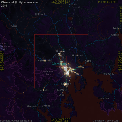
90.57%Clear (daylight) street map image can be seen on geolist.org.
Map coordinates:
42° 15' 54.5" South, 146° 32' 48.8" East
42° 46' 60" South, 147° 15' 0" East
43° 17' 50" South, 147° 57' 11.3" East
Some cities around Claremont sort by population:
• Hobart
12.5 km =7.8 mi,  148°
148°
• Glenorchy
6 km =3.7 mi,  159°
159°
• New Town
9.5 km =5.9 mi, 149°
• Lindisfarne
11.6 km =7.2 mi,  128°
128°
• Lenah Valley
10 km =6.2 mi,  168°
168°
• West Hobart
11.4 km =7.1 mi, 155°
• Moonah
8.2 km =5.1 mi, 148°
• South Hobart
13.3 km =8.3 mi, 158°
2171476 (p: 7,629)
Sources (retrieved 2019-11-25):
» Earth at Night: Flat Maps 2012, 2016