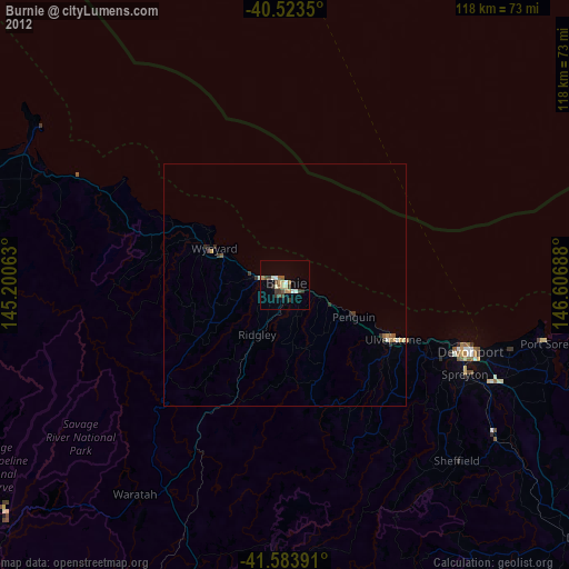
Burnie night lights from space
Night Light of Burnie (Tasmania) from space (Australia) Src. Average luminocity for 10x10km area is 15.3961% and for 50x50km: 1.0197%.
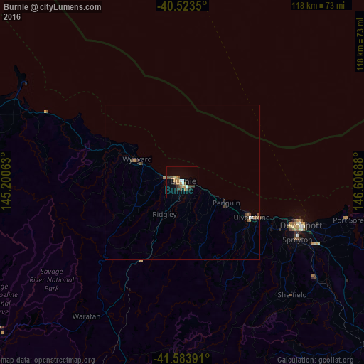
Analysis of Burnie night lights 2016
Square area 10x10 km:
 1.46%
1.46%90-99
1.14%80-89
0.65%70-79
2.76%60-69
3.73%50-59
2.76%40-49
3.08%30-39
2.6%20-29
2.6%10-19
1.95%0-9
77.27%Square area 50x50 km:
0.08%90-99
0.07%80-89
0.03%70-79
0.14%60-69
0.26%50-59
0.26%40-49
0.22%30-39
0.23%20-29
0.16%10-19
0.18%0-9
98.38%Clear (daylight) street map image can be seen on geolist.org.
Map coordinates:
40° 31' 24.6" South, 145° 12' 2.3" East
41° 3' 21" South, 145° 54' 13.5" East
41° 35' 2.1" South, 146° 36' 24.8" East
Some cities around Burnie sort by population:
• Launceston
111.4 km =69.2 mi,  112°
112°
• Devonport
39.9 km =24.8 mi, 109°
• Claremont
222 km =137.9 mi,  149°
149°
• Newnham
107.8 km =67 mi, 110°
• Riverside
104.2 km =64.7 mi, 112°
• Ulverstone
26.1 km =16.2 mi,  116°
116°
• Wynyard
16.6 km =10.3 mi,  296°
296°
• New Norfolk
214.5 km =133.3 mi, 153°
2173125 (p: 19,972)
Sources (retrieved 2019-11-25):
» Earth at Night: Flat Maps 2012, 2016