Newnham night lights from space
Night Light of Newnham (Tasmania) from space (Australia) Src. Average luminocity for 10x10km area is 25.0544% and for 50x50km: 2.8125%.
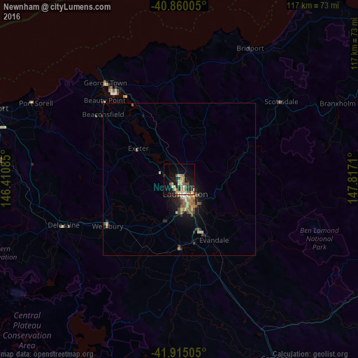
Analysis of Newnham night lights 2016
Square area 10x10 km:
 1.53%
1.53%90-99
2.55%80-89
6.63%70-79
4.42%60-69
2.38%50-59
5.44%40-49
0.85%30-39
1.7%20-29
6.97%10-19
21.94%0-9
45.58%Square area 50x50 km:
0.19%90-99
0.27%80-89
0.52%70-79
0.45%60-69
0.29%50-59
0.67%40-49
0.31%30-39
0.29%20-29
0.64%10-19
2.36%0-9
94.01%Clear (daylight) street map image can be seen on geolist.org.
Map coordinates:
40° 51' 36.2" South, 146° 24' 39.1" East
41° 23' 22.9" South, 147° 6' 50.3" East
41° 54' 54.2" South, 147° 49' 1.6" East
Some cities around Newnham sort by population:
• Launceston
5.7 km =3.5 mi,  162°
162°
• Burnie
107.8 km =67 mi,  290°
290°
• Devonport
68 km =42.3 mi, 290°
• Claremont
155.4 km =96.6 mi,  175°
175°
• Riverside
6.3 km =3.9 mi,  236°
236°
• Ulverstone
81.9 km =50.9 mi, 288°
• Wynyard
124.3 km =77.2 mi, 290°
• New Norfolk
154.9 km =96.3 mi, 181°
2155416 (p: 6,481)
Sources (retrieved 2019-11-25):
» Earth at Night: Flat Maps 2012, 2016