Kambah night lights from space
Night Light of Kambah (ACT) from space (Australia) Src. Average luminocity for 10x10km area is 56.663% and for 50x50km: 15.5849%.
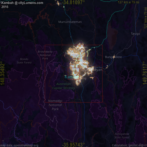
Analysis of Kambah night lights 2016
Square area 10x10 km:
 10.07%
90-99
14.29%80-89
9.52%70-79
9.34%60-69
11.36%50-59
5.68%40-49
2.56%30-39
3.3%20-29
10.62%10-19
16.67%0-9
6.59%Square area 50x50 km:
2.48%90-99
3.09%80-89
1.49%70-79
2.45%60-69
3.89%50-59
1.73%40-49
1.39%30-39
2.53%20-29
3.24%10-19
6%0-9
71.71%Clear (daylight) street map image can be seen on geolist.org.
Map coordinates:
34° 48' 39.5" South, 148° 21' 17.7" East
35° 23' 10.5" South, 149° 3' 28.9" East
35° 57' 26.7" South, 149° 45' 40.2" East
Some cities around Kambah sort by population:
• Canberra
13.1 km =8.1 mi,  29°
29°
• Gordon
8.2 km =5.1 mi,  162°
162°
• Wanniassa
3.2 km =2 mi,  113°
113°
• Narrabundah
10 km =6.2 mi,  55°
55°
• Calwell
7.5 km =4.7 mi,  143°
143°
• Monash
4.4 km =2.7 mi, 138°
• Curtin
7.1 km =4.4 mi,  14°
14°
• Chisholm
7 km =4.3 mi, 114°
8348370 (p: 14,539)
Sources (retrieved 2019-11-25):
» Earth at Night: Flat Maps 2012, 2016