Curtin night lights from space
Night Light of Curtin (ACT) from space (Australia) Src. Average luminocity for 10x10km area is 69.1465% and for 50x50km: 16.0864%.
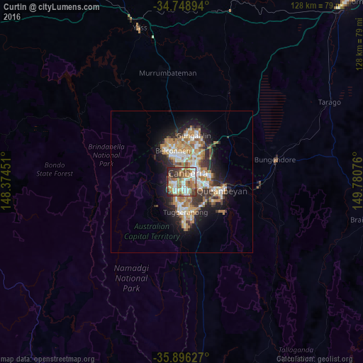
Analysis of Curtin night lights 2016
Square area 10x10 km:
100  13.37%
90-99 16.85%
80-89 7.14%
70-79 7.51%
60-69 19.96%
50-59 11.9%
40-49 7.88%
30-39 9.71%
20-29 5.49%
10-19 0.18%
0-9 0%
13.37%90-99
16.85%80-89
7.14%70-79
7.51%60-69
19.96%50-59
11.9%40-49
7.88%30-39
9.71%20-29
5.49%10-19
0.18%0-9
0%Square area 50x50 km:
100 2.48%
90-99 3.12%
80-89 1.55%
70-79 2.46%
60-69 3.92%
50-59 1.83%
40-49 1.39%
30-39 2.62%
20-29 3.44%
10-19 7.13%
0-9 70.07%
2.48%90-99
3.12%80-89
1.55%70-79
2.46%60-69
3.92%50-59
1.83%40-49
1.39%30-39
2.62%20-29
3.44%10-19
7.13%0-9
70.07%Clear (daylight) street map image can be seen on geolist.org.
Map coordinates:
34° 44' 56.2" South, 148° 22' 28.2" East
35° 19' 28.7" South, 149° 4' 39.5" East
35° 53' 46.6" South, 149° 46' 50.7" East
Some cities around Curtin sort by population:
• Canberra
6.5 km =4 mi,  44°
44°
• Kambah
7.1 km =4.4 mi,  194°
194°
• Wanniassa
8.2 km =5.1 mi,  171°
171°
• Braddon
8 km =5 mi, 41°
• Narrabundah
6.6 km =4.1 mi,  100°
100°
• O'Connor
8.2 km =5.1 mi,  22°
22°
• City
6.7 km =4.2 mi, 44°
• Campbell
8 km =5 mi,  60°
60°
8349171 (p: 5,160)
Sources (retrieved 2019-11-25):
» Earth at Night: Flat Maps 2012, 2016