Park Avenue night lights from space
Night Light of Park Avenue (Queensland) from space (Australia) Src. Average luminocity for 10x10km area is 58.2008% and for 50x50km: 5.0732%.
Analysis of Park Avenue night lights 2016
Square area 10x10 km:
 15.72%
90-99
16.86%80-89
7.2%70-79
3.03%60-69
5.3%50-59
4.92%40-49
7.01%30-39
5.11%20-29
18.56%10-19
15.53%0-9
0.76%Square area 50x50 km:
0.82%90-99
1.02%80-89
0.63%70-79
0.41%60-69
0.48%50-59
0.49%40-49
0.72%30-39
0.38%20-29
1.29%10-19
4.21%0-9
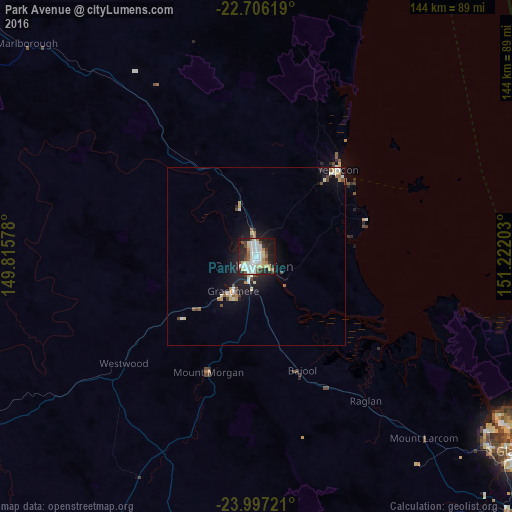
89.56%Clear (daylight) street map image can be seen on geolist.org.
Map coordinates:
22° 42' 22.3" South, 149° 48' 56.8" East
23° 21' 11.8" South, 150° 31' 8" East
23° 59' 50" South, 151° 13' 19.3" East
Some cities around Park Avenue sort by population:
• Rockhampton
3.3 km =2.1 mi,  203°
203°
• Yeppoon
34.1 km =21.2 mi,  42°
42°
• Gracemere
11.3 km =7 mi,  213°
213°
• Norman Gardens
2.7 km =1.7 mi,  19°
19°
• Frenchville
2.7 km =1.7 mi,  76°
76°
• Berserker
0.6 km =0.4 mi,  164°
164°
• Yeppoon city centre
33.4 km =20.8 mi, 41°
• The Range
4.9 km =3 mi, 208°
8348795 (p: 5,001)
Sources (retrieved 2019-11-25):
» Earth at Night: Flat Maps 2012, 2016