Norman Gardens night lights from space
Night Light of Norman Gardens (Queensland) from space (Australia) Src. Average luminocity for 10x10km area is 47.4962% and for 50x50km: 5.2813%.
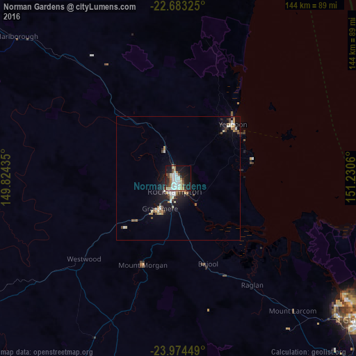
Analysis of Norman Gardens night lights 2016
Square area 10x10 km:
 11.93%
90-99
12.69%80-89
5.68%70-79
2.08%60-69
6.25%50-59
3.03%40-49
5.68%30-39
3.6%20-29
12.69%10-19
27.27%0-9
9.09%Square area 50x50 km:
0.82%90-99
1.03%80-89
0.63%70-79
0.46%60-69
0.49%50-59
0.56%40-49
0.76%30-39
0.42%20-29
1.37%10-19
4.32%0-9
89.13%Clear (daylight) street map image can be seen on geolist.org.
Map coordinates:
22° 40' 59.7" South, 149° 49' 27.7" East
23° 19' 49.6" South, 150° 31' 38.9" East
23° 58' 28.2" South, 151° 13' 50.2" East
Some cities around Norman Gardens sort by population:
• Rockhampton
6 km =3.7 mi,  201°
201°
• Yeppoon
31.7 km =19.7 mi,  44°
44°
• Gracemere
13.9 km =8.6 mi,  210°
210°
• Frenchville
2.6 km =1.6 mi,  137°
137°
• Berserker
3.2 km =2 mi,  193°
193°
• Yeppoon city centre
30.9 km =19.2 mi, 43°
• The Range
7.6 km =4.7 mi, 204°
• Park Avenue
2.7 km =1.7 mi, 199°
8347999 (p: 9,980)
Sources (retrieved 2019-11-25):
» Earth at Night: Flat Maps 2012, 2016