Tarneit night lights from space
Night Light of Tarneit (Victoria) from space (Australia) Src. Average luminocity for 10x10km area is 39.2942% and for 50x50km: 25.6046%.
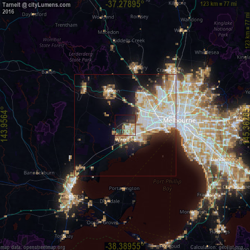
Analysis of Tarneit night lights 2016
Square area 10x10 km:
 5.27%
5.27%90-99
5.61%80-89
4.08%70-79
7.31%60-69
8.33%50-59
3.23%40-49
6.46%30-39
7.65%20-29
14.46%10-19
19.39%0-9
18.2%Square area 50x50 km:
6.76%90-99
5.86%80-89
2.82%70-79
3.68%60-69
3.18%50-59
2.42%40-49
2.07%30-39
2.16%20-29
3.98%10-19
7.99%0-9
59.09%Clear (daylight) street map image can be seen on geolist.org.
Map coordinates:
37° 16' 44.2" South, 143° 57' 23" East
37° 50' 10.8" South, 144° 39' 34.3" East
38° 23' 22.4" South, 145° 21' 45.5" East
Some cities around Tarneit sort by population:
• Werribee
7.1 km =4.4 mi,  174°
174°
• Hoppers Crossing
6.3 km =3.9 mi,  145°
145°
• Wyndham Vale
6.9 km =4.3 mi,  207°
207°
• Truganina
8.2 km =5.1 mi,  74°
74°
• Derrimut
10.9 km =6.8 mi,  63°
63°
• Williams Landing
7.9 km =4.9 mi,  111°
111°
• Seabrook
10 km =6.2 mi,  119°
119°
• Laverton
10.1 km =6.3 mi, 106°
2147357 (p: 34,372)
Sources (retrieved 2019-11-25):
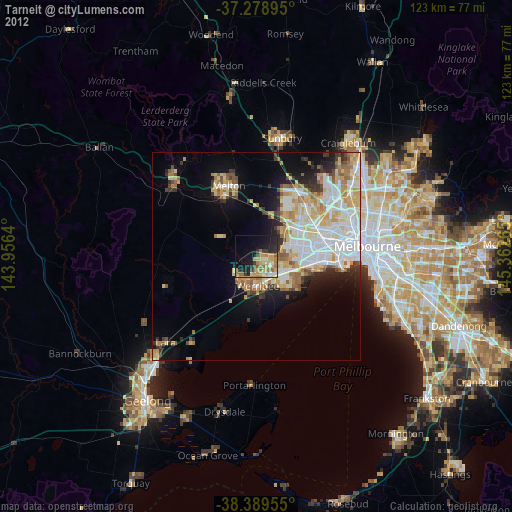
» Earth at Night: Flat Maps 2012, 2016