Wendouree night lights from space
Night Light of Wendouree (Victoria) from space (Australia) Src. Average luminocity for 10x10km area is 42.7857% and for 50x50km: 3.0629%.
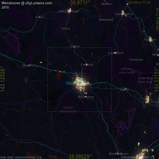
Analysis of Wendouree night lights 2016
Square area 10x10 km:
 6.17%
6.17%90-99
6.17%80-89
6.17%70-79
10.71%60-69
5.52%50-59
7.14%40-49
5.19%30-39
4.87%20-29
4.87%10-19
27.44%0-9
15.75%Square area 50x50 km:
0.28%90-99
0.27%80-89
0.38%70-79
0.74%60-69
0.35%50-59
0.54%40-49
0.53%30-39
0.44%20-29
0.45%10-19
2.72%0-9
93.3%Clear (daylight) street map image can be seen on geolist.org.
Map coordinates:
36° 58' 16" South, 143° 7' 30.9" East
37° 31' 50.8" South, 143° 49' 42.2" East
38° 5' 10.6" South, 144° 31' 53.4" East
Some cities around Wendouree sort by population:
• Ballarat
4.4 km =2.7 mi,  154°
154°
• Sebastopol
6.1 km =3.8 mi,  170°
170°
• Alfredton
4.1 km =2.5 mi,  194°
194°
• Darley
56 km =34.8 mi,  104°
104°
• Maryborough
54.5 km =33.9 mi,  351°
351°
• Delacombe
6.6 km =4.1 mi, 190°
• Ballarat Central
4 km =2.5 mi, 150°
• Ballarat East
5.2 km =3.2 mi,  139°
139°
2144139 (p: 10,197)
Sources (retrieved 2019-11-25):
» Earth at Night: Flat Maps 2012, 2016