Southside night lights from space
Night Light of Southside (Queensland) from space (Australia) Src. Average luminocity for 10x10km area is 19.2242% and for 50x50km: 1.3289%.
Analysis of Southside night lights 2016
Square area 10x10 km:
 2.18%
2.18%90-99
2.58%80-89
0%70-79
0.6%60-69
7.54%50-59
0.6%40-49
5.75%30-39
5.56%20-29
3.17%10-19
8.33%0-9
63.69%Square area 50x50 km:
0.09%90-99
0.1%80-89
0.01%70-79
0.05%60-69
0.48%50-59
0.15%40-49
0.41%30-39
0.36%20-29
0.33%10-19
0.39%0-9
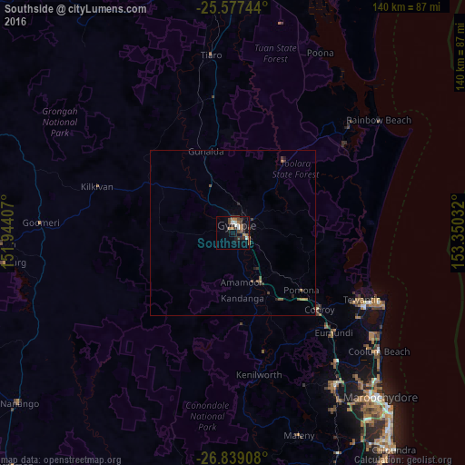
97.62%Clear (daylight) street map image can be seen on geolist.org.
Map coordinates:
25° 34' 38.8" South, 151° 56' 38.7" East
26° 12' 35.9" South, 152° 38' 49.9" East
26° 50' 20.7" South, 153° 21' 1.2" East
Some cities around Southside sort by population:
• Nambour
55.7 km =34.6 mi,  146°
146°
• Tewantin
43.5 km =27 mi,  117°
117°
• Gympie
2.9 km =1.8 mi,  38°
38°
• Noosaville
46.8 km =29.1 mi, 116°
• Coolum Beach
56.4 km =35 mi,  128°
128°
• Bli Bli
59.6 km =37 mi,  139°
139°
• Noosa Heads
48.7 km =30.3 mi,  114°
114°
• Peregian Springs
52.7 km =32.7 mi, 125°
8347968 (p: 5,595)
Sources (retrieved 2019-11-25):
» Earth at Night: Flat Maps 2012, 2016