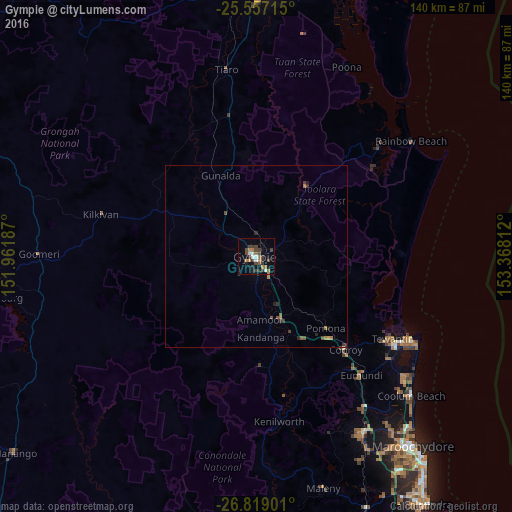
Gympie night lights from space
Night Light of Gympie (Queensland) from space (Australia) Src. Average luminocity for 10x10km area is 20.7976% and for 50x50km: 1.3361%.
Analysis of Gympie night lights 2016
Square area 10x10 km:
 2.18%
2.18%90-99
2.58%80-89
0%70-79
0.79%60-69
7.34%50-59
0.6%40-49
7.14%30-39
6.55%20-29
3.37%10-19
7.74%0-9
61.71%Square area 50x50 km:
0.09%90-99
0.1%80-89
0.01%70-79
0.05%60-69
0.48%50-59
0.15%40-49
0.41%30-39
0.39%20-29
0.33%10-19
0.39%0-9
97.59%Clear (daylight) street map image can be seen on geolist.org.
Map coordinates:
25° 33' 25.7" South, 151° 57' 42.7" East
26° 11' 23.2" South, 152° 39' 54" East
26° 49' 8.4" South, 153° 22' 5.2" East
Some cities around Gympie sort by population:
• Nambour
56.7 km =35.2 mi,  148°
148°
• Tewantin
43.1 km =26.8 mi,  121°
121°
• Noosaville
46.4 km =28.8 mi, 120°
• Coolum Beach
56.5 km =35.1 mi,  131°
131°
• Bli Bli
60.2 km =37.4 mi,  142°
142°
• Noosa Heads
48.1 km =29.9 mi, 118°
• Peregian Springs
52.7 km =32.7 mi, 129°
• Southside
2.9 km =1.8 mi,  218°
218°
2164129 (p: 10,805)
Sources (retrieved 2019-11-25):
» Earth at Night: Flat Maps 2012, 2016