Noosa Heads night lights from space
Night Light of Noosa Heads (Queensland) from space (Australia) Src. Average luminocity for 10x10km area is 18.7273% and for 50x50km: 3.2403%.
Analysis of Noosa Heads night lights 2016
Square area 10x10 km:
 2.27%
2.27%90-99
1.89%80-89
1.52%70-79
0.38%60-69
8.71%50-59
1.14%40-49
2.65%30-39
2.65%20-29
0.76%10-19
16.67%0-9
61.36%Square area 50x50 km:
0.16%90-99
0.2%80-89
0.17%70-79
0.07%60-69
1.38%50-59
0.41%40-49
0.63%30-39
0.6%20-29
0.19%10-19
2.38%0-9
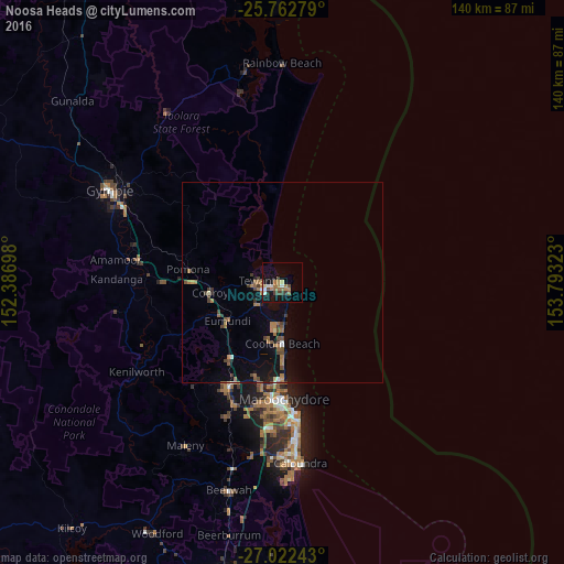
93.8%Clear (daylight) street map image can be seen on geolist.org.
Map coordinates:
25° 45' 46" South, 152° 23' 13.1" East
26° 23' 39.6" South, 153° 5' 24.4" East
27° 1' 20.7" South, 153° 47' 35.6" East
Some cities around Noosa Heads sort by population:
• Buderim
32.4 km =20.1 mi,  185°
185°
• Maroochydore
29.6 km =18.4 mi,  178°
178°
• Nambour
28.9 km =18 mi,  206°
206°
• Tewantin
5.6 km =3.5 mi,  273°
273°
• Mooloolaba
32.1 km =19.9 mi,  174°
174°
• Coolum Beach
14.9 km =9.3 mi, 180°
• Bli Bli
25.3 km =15.7 mi, 192°
• Peregian Springs
10.5 km =6.5 mi, 187°
2155135 (p: 7,041)
Sources (retrieved 2019-11-25):
» Earth at Night: Flat Maps 2012, 2016