Noosaville night lights from space
Night Light of Noosaville (Queensland) from space (Australia) Src. Average luminocity for 10x10km area is 24.6193% and for 50x50km: 3.4131%.
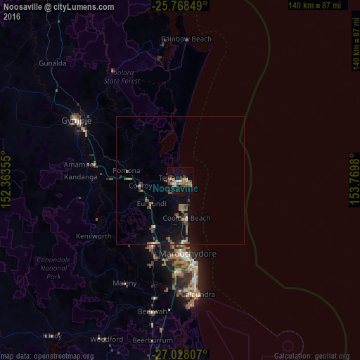
Analysis of Noosaville night lights 2016
Square area 10x10 km:
 2.27%
2.27%90-99
2.27%80-89
1.52%70-79
0.38%60-69
12.69%50-59
2.46%40-49
3.98%30-39
4.73%20-29
1.14%10-19
22.35%0-9
46.21%Square area 50x50 km:
0.17%90-99
0.22%80-89
0.2%70-79
0.07%60-69
1.44%50-59
0.46%40-49
0.66%30-39
0.6%20-29
0.23%10-19
2.52%0-9
93.42%Clear (daylight) street map image can be seen on geolist.org.
Map coordinates:
25° 46' 6.6" South, 152° 21' 48.8" East
26° 24' 0" South, 153° 4' 0" East
27° 1' 41.1" South, 153° 46' 11.3" East
Some cities around Noosaville sort by population:
• Buderim
31.6 km =19.6 mi,  181°
181°
• Maroochydore
29.1 km =18.1 mi,  173°
173°
• Nambour
27.3 km =17 mi,  202°
202°
• Tewantin
3.4 km =2.1 mi,  287°
287°
• Mooloolaba
31.7 km =19.7 mi, 170°
• Coolum Beach
14.4 km =8.9 mi, 171°
• Bli Bli
24.3 km =15.1 mi,  187°
187°
• Peregian Springs
9.8 km =6.1 mi, 174°
2155132 (p: 9,811)
Sources (retrieved 2019-11-25):
» Earth at Night: Flat Maps 2012, 2016