South Hedland night lights from space
Night Light of South Hedland (Western Australia) from space (Australia) Src. Average luminocity for 10x10km area is 40.9015% and for 50x50km: 5.2623%.
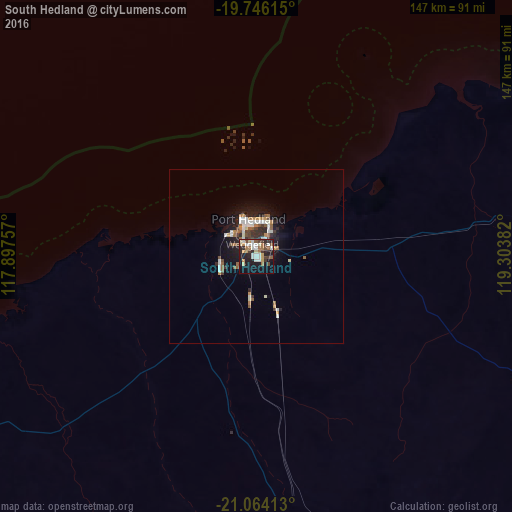
Analysis of South Hedland night lights 2016
Square area 10x10 km:
 6.63%
6.63%90-99
9.09%80-89
4.36%70-79
4.17%60-69
6.63%50-59
3.41%40-49
5.49%30-39
6.44%20-29
13.45%10-19
26.7%0-9
13.64%Square area 50x50 km:
0.8%90-99
1.05%80-89
0.27%70-79
0.52%60-69
0.69%50-59
0.77%40-49
0.61%30-39
0.78%20-29
1.38%10-19
4.09%0-9
89.03%Clear (daylight) street map image can be seen on geolist.org.
Map coordinates:
19° 44' 46.1" South, 117° 53' 51.3" East
20° 24' 23.6" South, 118° 36' 2.5" East
21° 3' 50.9" South, 119° 18' 13.8" East
Some cities around South Hedland sort by population:
• Geraldton
1014.2 km =630.2 mi,  203°
203°
• Newman
348.3 km =216.4 mi,  160°
160°
• Karratha
186.3 km =115.8 mi,  258°
258°
• Cable Beach
466.7 km =290 mi,  54°
54°
• Carnarvon
710.5 km =441.5 mi,  225°
225°
• Kununurra
1188.5 km =738.5 mi,  64°
64°
• Port Hedland
10.5 km =6.5 mi,  5°
5°
• Broome
469.3 km =291.6 mi, 54°
8348328 (p: 10,380)
Sources (retrieved 2019-11-25):
» Earth at Night: Flat Maps 2012, 2016