Geraldton night lights from space
Night Light of Geraldton (Western Australia) from space (Australia) Src. Average luminocity for 10x10km area is 37.8068% and for 50x50km: 2.4861%.
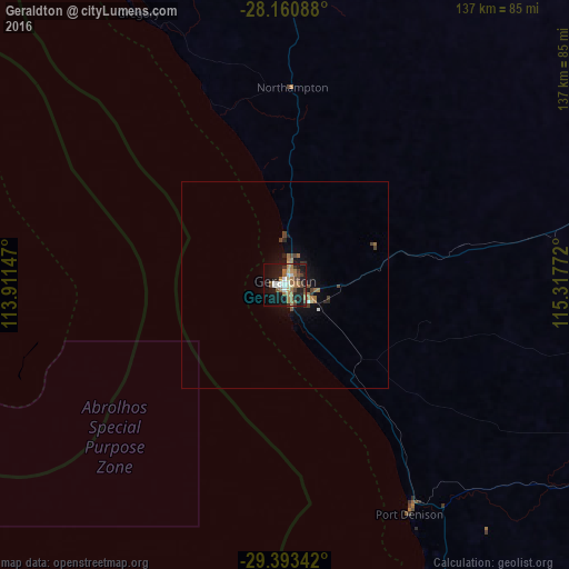
Analysis of Geraldton night lights 2016
Square area 10x10 km:
 4.55%
4.55%90-99
5.87%80-89
2.08%70-79
2.84%60-69
15.53%50-59
4.73%40-49
4.92%30-39
4.73%20-29
7.01%10-19
35.23%0-9
12.5%Square area 50x50 km:
0.19%90-99
0.29%80-89
0.12%70-79
0.13%60-69
0.96%50-59
0.28%40-49
0.52%30-39
0.33%20-29
0.43%10-19
2.31%0-9
94.45%Clear (daylight) street map image can be seen on geolist.org.
Map coordinates:
28° 9' 39.2" South, 113° 54' 41.3" East
28° 46' 44.3" South, 114° 36' 52.5" East
29° 23' 36.3" South, 115° 19' 3.8" East
Some cities around Geraldton sort by population:
• Butler
335.2 km =208.3 mi,  161°
161°
• Clarkson
340 km =211.3 mi, 161°
• Yanchep
322.9 km =200.6 mi, 162°
• Quinns Rocks
338.4 km =210.3 mi, 161°
• Mindarie
340.2 km =211.4 mi, 162°
• Carramar
342.2 km =212.6 mi, 161°
• Alkimos
333.4 km =207.2 mi, 162°
• Merriwa
337.8 km =209.9 mi, 161°
2070998 (p: 26,872)
Sources (retrieved 2019-11-25):
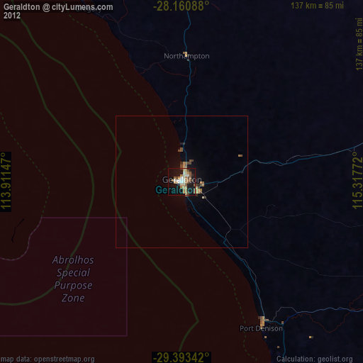
» Earth at Night: Flat Maps 2012, 2016