Carnarvon night lights from space
Night Light of Carnarvon (Western Australia) from space (Australia) Src. Average luminocity for 10x10km area is 12.3655% and for 50x50km: 0.587%.
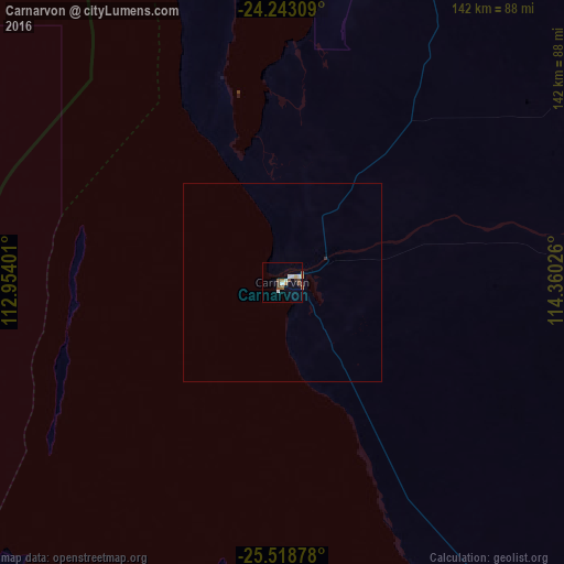
Analysis of Carnarvon night lights 2016
Square area 10x10 km:
 1.14%
1.14%90-99
3.41%80-89
1.14%70-79
0%60-69
2.08%50-59
2.46%40-49
3.03%30-39
1.14%20-29
0%10-19
0.19%0-9
85.42%Square area 50x50 km:
0.05%90-99
0.14%80-89
0.05%70-79
0.01%60-69
0.1%50-59
0.12%40-49
0.12%30-39
0.09%20-29
0%10-19
0.01%0-9
99.31%Clear (daylight) street map image can be seen on geolist.org.
Map coordinates:
24° 14' 35.1" South, 112° 57' 14.4" East
24° 52' 57.3" South, 113° 39' 25.7" East
25° 31' 7.6" South, 114° 21' 36.9" East
Some cities around Carnarvon sort by population:
• Geraldton
443.5 km =275.6 mi,  167°
167°
• Butler
777.9 km =483.4 mi, 165°
• Newman
639.7 km =397.5 mi,  74°
74°
• Karratha
565 km =351.1 mi,  35°
35°
• South Hedland
710.5 km =441.5 mi,  45°
45°
• Yanchep
765.8 km =475.8 mi, 165°
• Alkimos
776.1 km =482.2 mi, 165°
• Port Hedland
718.7 km =446.6 mi, 45°
2074865 (p: 7,392)
Sources (retrieved 2019-11-25):
» Earth at Night: Flat Maps 2012, 2016