Cable Beach night lights from space
Night Light of Cable Beach (Western Australia) from space (Australia) Src. Average luminocity for 10x10km area is 35.5801% and for 50x50km: 1.6616%.
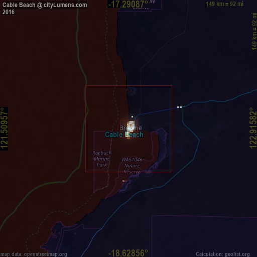
Analysis of Cable Beach night lights 2016
Square area 10x10 km:
 6.49%
6.49%90-99
9.31%80-89
2.38%70-79
3.03%60-69
8.87%50-59
5.41%40-49
0%30-39
0%20-29
0.43%10-19
41.13%0-9
22.94%Square area 50x50 km:
0.25%90-99
0.39%80-89
0.09%70-79
0.11%60-69
0.37%50-59
0.24%40-49
0%30-39
0%20-29
0.02%10-19
1.94%0-9
96.6%Clear (daylight) street map image can be seen on geolist.org.
Map coordinates:
17° 17' 27.1" South, 121° 30' 34.5" East
17° 57' 39.5" South, 122° 12' 45.7" East
18° 37' 42.8" South, 122° 54' 57" East
Some cities around Cable Beach sort by population:
• Kupang, ID
879.1 km =546.2 mi,  9°
9°
• Soe, ID
927.9 km =576.6 mi, 13°
• Newman
652.9 km =405.7 mi,  203°
203°
• Karratha
642 km =398.9 mi,  241°
241°
• South Hedland
466.7 km =290 mi,  234°
234°
• Kununurra
735.8 km =457.2 mi,  70°
70°
• Port Hedland
459.9 km =285.8 mi, 235°
• Broome
2.9 km =1.8 mi,  77°
77°
8349027 (p: 8,529)
Sources (retrieved 2019-11-25):
» Earth at Night: Flat Maps 2012, 2016