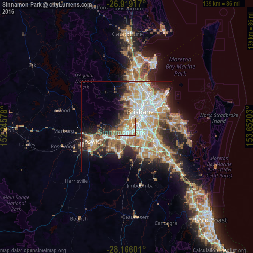
Sinnamon Park night lights from space
Night Light of Sinnamon Park (Queensland) from space (Australia) Src. Average luminocity for 10x10km area is 75.4802% and for 50x50km: 43.6222%.
Analysis of Sinnamon Park night lights 2016
Square area 10x10 km:
 14.09%
90-99
18.45%80-89
7.54%70-79
20.63%60-69
21.23%50-59
8.73%40-49
3.77%30-39
2.58%20-29
2.38%10-19
0.6%0-9
0%Square area 50x50 km:
8.82%90-99
9.51%80-89
5.43%70-79
6.27%60-69
11.09%50-59
3.68%40-49
4.51%30-39
4.16%20-29
7.43%10-19
9.4%0-9
29.68%Clear (daylight) street map image can be seen on geolist.org.
Map coordinates:
26° 55' 9" South, 152° 14' 44.8" East
27° 32' 39.7" South, 152° 56' 56" East
28° 9' 57.6" South, 153° 39' 7.3" East
Some cities around Sinnamon Park sort by population:
• Inala
6.4 km =4 mi,  156°
156°
• Indooroopilly
5.3 km =3.3 mi,  29°
29°
• Chapel Hill
4.6 km =2.9 mi,  1°
1°
• Kenmore
4.2 km =2.6 mi,  346°
346°
• Oxley
3.5 km =2.2 mi,  100°
100°
• Taringa
6.7 km =4.2 mi, 26°
• Durack
6.2 km =3.9 mi,  144°
144°
• Jindalee
1.5 km =0.9 mi,  316°
316°
8348838 (p: 6,323)
Sources (retrieved 2019-11-25):
» Earth at Night: Flat Maps 2012, 2016