Durack night lights from space
Night Light of Durack (Queensland) from space (Australia) Src. Average luminocity for 10x10km area is 85.0556% and for 50x50km: 43.0555%.
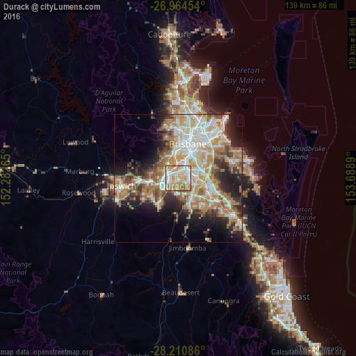
Analysis of Durack night lights 2016
Square area 10x10 km:
 24.21%
90-99
22.82%80-89
12.9%70-79
22.22%60-69
13.29%50-59
4.56%40-49
0%30-39
0%20-29
0%10-19
0%0-9
0%Square area 50x50 km:
8.47%90-99
9.16%80-89
5.29%70-79
5.99%60-69
11.48%50-59
3.7%40-49
4.58%30-39
4.29%20-29
7.35%10-19
10.01%0-9
29.68%Clear (daylight) street map image can be seen on geolist.org.
Map coordinates:
26° 57' 52.3" South, 152° 16' 57.5" East
27° 35' 22.1" South, 152° 59' 8.8" East
28° 12' 39.1" South, 153° 41' 20" East
Some cities around Durack sort by population:
• Forest Lake
4.4 km =2.7 mi,  202°
202°
• Inala
1.4 km =0.9 mi,  232°
232°
• Oxley
4.4 km =2.7 mi,  356°
356°
• Algester
5.3 km =3.3 mi,  119°
119°
• Acacia Ridge
4.7 km =2.9 mi,  81°
81°
• Sinnamon Park
6.2 km =3.9 mi,  324°
324°
• Salisbury
6.3 km =3.9 mi,  47°
47°
• Coopers Plains
6.1 km =3.8 mi,  62°
62°
8349245 (p: 7,426)
Sources (retrieved 2019-11-25):
» Earth at Night: Flat Maps 2012, 2016