Kenmore night lights from space
Night Light of Kenmore (Queensland) from space (Australia) Src. Average luminocity for 10x10km area is 57.6845% and for 50x50km: 44.4421%.
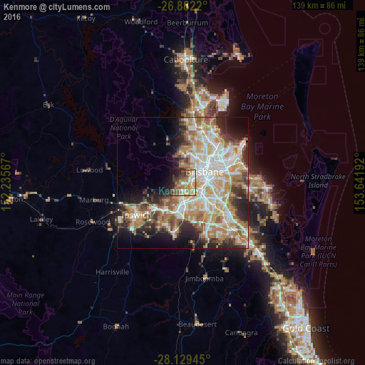
Analysis of Kenmore night lights 2016
Square area 10x10 km:
 6.35%
6.35%90-99
10.71%80-89
4.56%70-79
11.51%60-69
20.44%50-59
8.73%40-49
8.73%30-39
9.13%20-29
8.53%10-19
9.72%0-9
1.59%Square area 50x50 km:
9%90-99
9.71%80-89
5.61%70-79
6.43%60-69
11.44%50-59
3.87%40-49
4.62%30-39
4.34%20-29
7.19%10-19
8.4%0-9
29.39%Clear (daylight) street map image can be seen on geolist.org.
Map coordinates:
26° 52' 55.9" South, 152° 14' 8.4" East
27° 30' 27.3" South, 152° 56' 19.6" East
28° 7' 46" South, 153° 38' 30.9" East
Some cities around Kenmore sort by population:
• Indooroopilly
3.6 km =2.2 mi,  81°
81°
• Toowong
5.2 km =3.2 mi,  58°
58°
• Chapel Hill
1.2 km =0.7 mi, 63°
• Oxley
6.4 km =4 mi,  137°
137°
• Taringa
4.4 km =2.7 mi, 64°
• Sinnamon Park
4.2 km =2.6 mi,  166°
166°
• Auchenflower
6.4 km =4 mi,  54°
54°
• Jindalee
3 km =1.9 mi,  180°
180°
6931020 (p: 8,764)
Sources (retrieved 2019-11-25):
» Earth at Night: Flat Maps 2012, 2016