Rye night lights from space
Night Light of Rye (Victoria) from space (Australia) Src. Average luminocity for 10x10km area is 8.0748% and for 50x50km: 2.6877%.
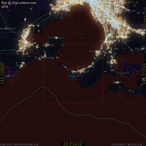
Analysis of Rye night lights 2016
Square area 10x10 km:
 0%
0%90-99
0%80-89
0%70-79
0.68%60-69
2.04%50-59
1.36%40-49
2.55%30-39
4.25%20-29
2.89%10-19
3.57%0-9
82.65%Square area 50x50 km:
0.05%90-99
0.06%80-89
0.09%70-79
0.53%60-69
0.65%50-59
0.56%40-49
0.59%30-39
0.64%20-29
0.93%10-19
1.43%0-9
94.48%Clear (daylight) street map image can be seen on geolist.org.
Map coordinates:
37° 49' 55.3" South, 144° 6' 32.7" East
38° 23' 7" South, 144° 48' 44" East
38° 56' 3.6" South, 145° 30' 55.2" East
Some cities around Rye sort by population:
• Mornington
27.1 km =16.8 mi,  46°
46°
• Mount Martha
22.2 km =13.8 mi, 53°
• Mount Eliza
32.6 km =20.3 mi, 46°
• Ocean Grove
29.2 km =18.1 mi,  299°
299°
• Rosebud
8.9 km =5.5 mi,  68°
68°
• Hastings
33.7 km =20.9 mi, 73°
• Clifton Springs
33.9 km =21.1 mi,  318°
318°
• Dromana
14.5 km =9 mi, 66°
2150765 (p: 8,121)
Sources (retrieved 2019-11-25):
» Earth at Night: Flat Maps 2012, 2016